
A New Approach to 3D Feature Extraction from Massive Geospatial Datasets.
As airborne LiDAR, mobile mapping, UAV photogrammetry, and reality capture technologies continue to generate increasingly dense point clouds, geospatial professionals face a growing challenge: how to efficiently transform billions of points into accurate cartographic and engineering deliverables.
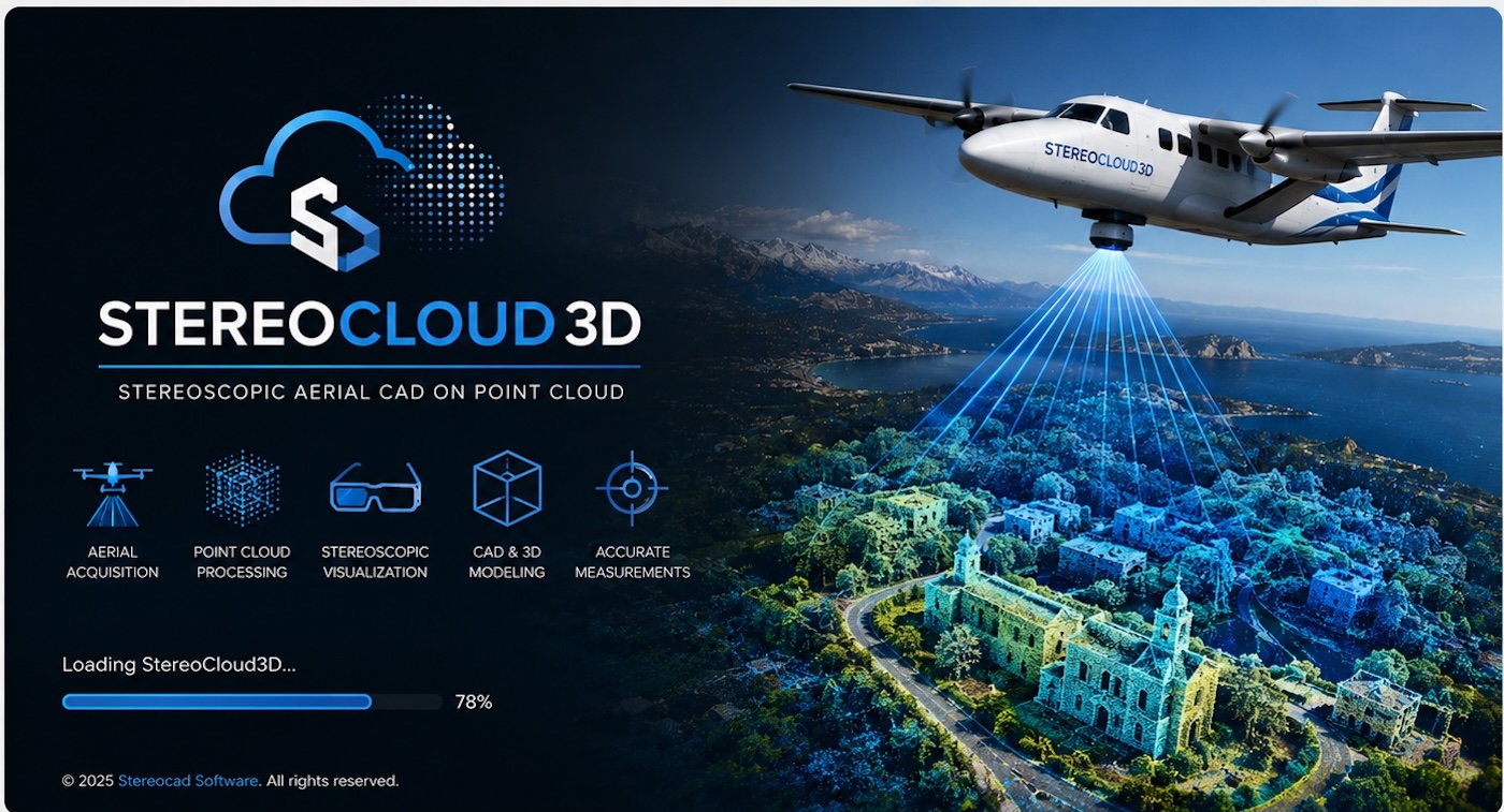
StereoCloud3D proposes an answer rooted in a technology familiar to many photogrammetrists but largely absent from modern point cloud workflows: true stereoscopic visualization.
The platform combines real-time streaming of massive LiDAR and photogrammetric point clouds with stereoscopic 3D viewing and integrated CAD digitization tools, enabling operators to extract features directly within the 3D environment rather than relying solely on traditional orthographic views or automated classification routines.
From Point Clouds to Deliverables
According to the developers, StereoCloud3D is designed as a single workspace where users can move from raw LAS and LAZ datasets to final vector products without switching between multiple software environments. The system supports the digitization of terrain features, breaklines, contours, building outlines, infrastructure elements, façades, bridge structures, dams, and inclined roof surfaces directly within the point cloud.
One of the platform’s distinguishing features is its ability to stream extremely large datasets—ranging from hundreds of millions to over a billion points—through a tiled level-of-detail architecture that maintains interactive performance even on standard workstations.
This approach addresses one of the most persistent bottlenecks in contemporary geospatial production: handling ever-growing point cloud volumes without sacrificing responsiveness or accuracy.
The Return of Stereoscopic Interpretation
For decades, stereoscopic restitution represented the gold standard for photogrammetric mapping. While modern workflows increasingly rely on automated extraction and machine learning, many mapping professionals continue to recognize the value of human interpretation when dealing with complex terrain, urban environments, and critical infrastructure.
StereoCloud3D reintroduces this capability through support for multiple stereoscopic display configurations, including passive 3D systems, active shutter technologies, and anaglyph visualization. The platform allows operators to perceive depth directly within the point cloud, facilitating more intuitive feature identification and vector extraction.
A particularly interesting development is the introduction of the Stereo UCS (User Coordinate System) workflow, which enables stereoscopic digitization not only on horizontal terrain surfaces but also on vertical or inclined planes. This capability is especially relevant for applications involving building façades, retaining walls, bridge abutments, dams, and other complex structures that are difficult to capture accurately using conventional planimetric workflows.
CAD Functionality Embedded in the 3D Environment
Rather than treating the point cloud as a visualization layer only, StereoCloud3D integrates CAD editing directly within the stereoscopic workspace. Users can create lines, polylines, breaklines, contours, and other vector elements while snapping elevations directly from the cloud.
The software also includes tools for generating spot-height plans, automatically sampling elevation values from the point cloud while allowing stereo verification and quality control by the operator.
This combination of visualization, interpretation, and vectorization within a single environment may be particularly attractive for organizations involved in topographic mapping, cadastral updates, infrastructure surveys, and engineering design support.
A Broader Trend in Reality Capture
The emergence of solutions such as StereoCloud3D reflects a broader evolution occurring across the reality capture sector. As point clouds become a foundational component of digital twins, BIM workflows, and asset management systems, the industry is increasingly seeking tools that make complex spatial datasets more accessible and operational. Reality capture technologies are now widely recognized as a key bridge between the physical and digital worlds, supporting the creation of accurate digital representations for planning, monitoring, and decision-making.
In this context, StereoCloud3D occupies a distinctive position by focusing on the human interpreter rather than exclusively on automation. The platform demonstrates that stereoscopic visualization and manual photogrammetric expertise still have an important role to play in extracting high-value information from modern reality capture datasets.
Looking Ahead
As geospatial projects continue to expand in scale and complexity, the ability to navigate, interpret, and vectorize massive 3D datasets efficiently will remain a critical requirement. StereoCloud3D represents an interesting convergence of traditional photogrammetric principles and modern cloud-based point cloud management, offering surveyors, mapping agencies, and engineering firms a workflow centered on accurate 3D interpretation.
For professionals who grew up with stereoplotters, it may feel like a return to familiar territory. For a new generation of geospatial specialists, it could be an opportunity to rediscover the value of true stereoscopic mapping in the age of billion-point datasets.
