Reality Capture is no longer defined by a single sensor or acquisition technique: laser scanning, mobile scanning, 360° imagery, photogrammetry and Gaussian Splatting are increasingly becoming complementary components of integrated 3D workflows.
Reality Capture is evolving from a workflow centred on individual sensors towards an environment in which different acquisition technologies can coexist and contribute according to their strengths. Laser scanning, mobile mapping, 360° imagery and image-based reconstruction do not necessarily answer the same requirements. The challenge is increasingly to understand which technology is appropriate for a given application and how the resulting datasets can be integrated within a common 3D environment.
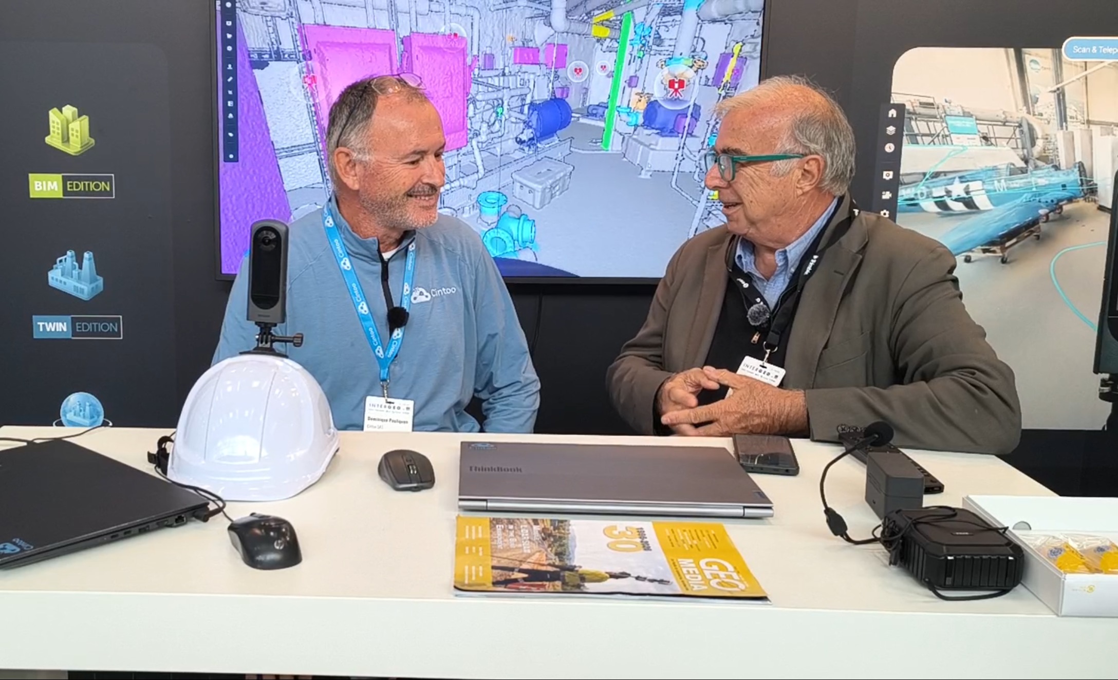
At INTERGEO 2026, GEOmedia discussed these topics with Dominique Pouliquen, CEO and co-founder of Cintoo, focusing on the integration of 360° imagery with SLAM processing, the opportunities and limitations of Gaussian Splatting and the transition from 3D representation to intelligent, contextualized information.
GEOmedia: Can 360° Reality Capture complement laser scanning, or will it remain mainly a visual documentation tool?
Dominique Pouliquen: This year, in partnership with Ricoh, we introduced what we call our 360 Edition, providing a complete 360° imagery workflow inside Cintoo. We see this as a complementary workflow to laser scanning. With 360° capture, you can easily walk through a site and practically anybody can do it. You do not need to be an expert. The data automatically goes from the field to the cloud, where it is processed using SLAM. From that data, we extract the camera path, the 360° images and Gaussian Splats. These can then be added to the other 3D data available for the project, such as laser scans and BIM models.
GEOmedia: So SLAM is managed directly as part of the workflow?
Dominique Pouliquen: Yes.
GEOmedia: When you use Gaussian Splatting with 360° data, what is actually measurable and what should be considered primarily visual? This is an important question because Gaussian Splatting is still a relatively new technology for many of us.
Dominique Pouliquen: That's a good question. This is a purely photogrammetric process, and it complements laser scanning, which uses an active sensor. With an image-based approach, the result depends on the quality of the photographs you capture and on the type of environment you are working in. For example, if you have an environment containing many clearly defined objects—large pipes, for instance—the process can work well. But if you have an environment dominated by white walls, reflective surfaces or windows, photogrammetry will not perform as well. Consequently, Gaussian Splats can be either very good or very poor depending on the type of building or environment you are surveying. We therefore need to make sure users understand where Gaussian Splatting can appropriately be used for 3D measurement and where it cannot.
GEOmedia: When does Reality Capture become useful intelligence rather than simply a 3D representation of a site?
Dominique Pouliquen: The technologies we have discussed are different ways of capturing data from a site. Today, of course, many people use laser scanning—either terrestrial scanning or mobile scanning—because it provides the accuracy and determinism needed for many applications. But where we see a great deal of value is in extracting information from the point cloud or laser scan. That means being able to interpret the data and classify it using technologies such as machine learning, AI or mesh segmentation. We can identify that a particular object is a pipe, for example, or that another object is a valve. Eventually, this information can be connected to the Digital Twin ecosystem. The result is that users can see each piece of equipment in a facility within its real-world context. We call this contextualization.
GEOmedia: So this becomes a semantic approach to the Digital Twin, in which we can include and connect information to the objects themselves. Thank you very much. This is exactly what we wanted to understand.
“Where we see a lot of value is extracting information from your point cloud or your laser scan: being able to interpret the data, classify the data and connect this information to your Digital Twin ecosystem.”
From capturing reality to understanding its context
The conversation with Dominique Pouliquen highlights an evolution in Reality Capture that goes beyond the introduction of another acquisition technology.
360° imagery and Gaussian Splatting do not necessarily replace laser scanning. Instead, they extend the range of tools available for documenting and understanding physical environments. The distinction is important because these technologies have fundamentally different characteristics. Laser scanners actively measure geometry and can provide the accuracy and deterministic results required for demanding surveying and engineering applications. Image-based approaches, by contrast, depend on visual information and therefore on image quality, lighting, textures, surfaces and the characteristics of the environment being captured.
Gaussian Splatting can produce visually rich representations from imagery, but visual richness should not automatically be interpreted as measurement reliability. An environment containing distinctive and well-textured objects may provide favourable conditions, while white walls, windows and reflective surfaces can create significant limitations. The emerging workflow is therefore not simply about choosing between laser scanning and 360° imagery. It is about understanding which source is appropriate for which requirement and how different sources can coexist within the same 3D environment.
The most significant evolution, however, comes at the next stage of the workflow. A point cloud, a Gaussian Splat or a photorealistic 3D representation is still fundamentally a representation of reality. Its value increases when software begins to understand what the objects represented by that geometry actually are. Machine learning, AI and segmentation can help transform geometric data into classified objects. A pipe can be identified as a pipe, a valve as a valve. Once those objects are connected to the broader Digital Twin ecosystem, geometry acquires meaning and becomes part of a larger operational information environment.
This is what Cintoo describes as contextualization.
Capture → Represent → Classify → Contextualize → Decide
In this progression, Reality Capture moves beyond the creation of increasingly realistic digital representations. The objective becomes the construction of an environment in which geometry, object identity and operational information can work together.
The greater potential of Reality Capture lies not only in reproducing the physical world, but in transforming that representation into an intelligent and contextualized source of information.
INTERGEO 2026 · Reality Capture & Digital Twin
Cintoo
360° Imagery · Laser Scanning · SLAM · Gaussian Splatting · AI · Contextualization · Digital Twin