Reality Capture technology is becoming faster, more accurate and easier to use, but the next competitive advantage may lie less in capturing more data and more in transforming that data into trusted information for decisions.
Reality Capture has advanced dramatically. Instruments are becoming faster, more accurate and easier to use, while workflows that once required highly specialized equipment are increasingly accessible to a broader range of professionals. But as capture technology matures, an important question emerges: where does the real value lie—in capturing reality more accurately and quickly, or in transforming captured data into information that supports better decisions?
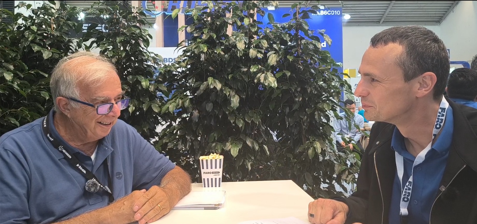
GEOmedia discussed this evolution with Oliver Zweigle, Divisional VP of Engineering at FARO INSIGHT, focusing on the transition from Reality Capture towards trusted insights, the practical limits of speed and accuracy, and what artificial intelligence could mean for a new generation of surveyors.
Renzo Carlucci, GEOmedia: FARO INSIGHT is moving from Reality Capture towards trusted insights. Where does the real value begin? Does it come from better capture, or from the decisions that can be made using the captured data?
Oliver Zweigle, FARO INSIGHT: I think, in the end, it is a mix. To give you some background, FARO has traditionally been very active in 3D metrology as well as in the digital reality business. With our current direction, we are placing a strong focus on digital reality and precisely on questions like this.Better capture remains important, up to a certain point. But I think that, for most applications, we have now reached a stage where the capture capabilities are already more than good enough, particularly with our flagship products. What ultimately creates value for our customers is what they can do with the data and the decisions they can make from it. This is how businesses operate and how our customers generate value from their work. So decisions based on captured data are becoming increasingly important. That is why we are putting greater emphasis on delivering insights. At the same time, providing a very good capture experience and high accuracy remains essential. Reliable capture is still the foundation for making good decisions.
GEOmedia: As Reality Capture becomes faster and more accessible, how do you decide when speed is enough, and when survey-grade accuracy is still essential?
Oliver Zweigle: That is a very good question, and it is something I have thought about a lot. All these characteristics have a certain practical limit, and I think this is even more evident with speed than with accuracy. At some point, speed is no longer particularly relevant. If you can capture something in approximately a second, for example, then the experience starts to become comparable to taking a photograph. Technically, I believe this is where capture ultimately needs to go: towards a stage where capturing reality becomes almost as immediate as taking a photo. But capture time is only one part of the workflow. Many of our customers still spend a significant amount of time in the back office registering datasets and bringing all that information together. This can still require hours or even days. That is therefore another major objective we are addressing with our latest technologies: how can we make the time between capturing the data and having a usable result as short as possible?
There is a similar question around accuracy. I think we are already very close to satisfying the accuracy requirements of most applications. With our latest flagship technology, we are even moving towards object accuracy below one millimetre. But for many of the applications we see in geospatial Reality Capture, I believe that accuracy around the millimetre level is already more than sufficient.
GEOmedia: I agree. My final question is particularly interesting to me because I am thinking about the new generation—young people entering this profession. What would you suggest to a young surveyor? Which areas should they explore? And should they be learning to use artificial intelligence?
Oliver Zweigle: It is very complex. Let me start from my own background. By profession, I am a software engineer. If I look at my generation, parents often told their children: “Do something with IT or computers.” If we look at the latest developments in AI, perhaps that advice is no longer quite as straightforward as it once was. AI is becoming increasingly involved in areas such as software development and writing code. I think there are other fields where the situation is different, and surveying is one of them. Surveying still involves work in the physical world. It requires experience, knowledge and practical activity. It is not simply a code-based or IT-based profession. That means AI can be used as a highly beneficial tool. It can contribute a great deal to everyday work, but I do not see it simply replacing the surveyor. I think that is a very good combination. I am always very open to new technologies whenever they can support us and help us do our jobs better. But they have to be used in the right context, and you still need to understand what you are doing.
That is the most important part.
Every AI system—even a very good one—can fail at some point. Professional knowledge therefore remains essential. At the same time, I think AI will increasingly become part of what all of us do. Whether we like it or not, it will be difficult to avoid using some form of AI as the world moves forward. We have seen similar transformations before. Think about the arrival of Google around twenty years ago. History shows us that some technological developments simply continue moving forward and eventually become part of everyday life.
GEOmedia: Thank you very much for sharing your views.
“You still need to understand what you are doing. Every AI system—even a very good one—can fail at some point.”
From capture to trusted information
The FARO INSIGHT interview highlights an important evolution in Reality Capture. As laser scanners become faster, more accurate and easier to operate, improvements in the instrument itself may no longer represent the only—or even the most significant—opportunity for creating additional value. Capture remains fundamental. Without reliable measurements, there can be no reliable analysis. But once the technology reaches sufficient levels of speed and accuracy for a particular application, attention naturally begins to move further along the information chain.
The question becomes not simply “How quickly can we capture reality?”, but “How quickly can we transform that captured reality into something useful?”
This distinction becomes particularly important when considering the complete Reality Capture workflow. A scan may take seconds or minutes, while registration, integration, processing and interpretation can still consume hours or even days. Reducing this gap between field acquisition and usable information can therefore create as much practical value as making the laser scanners itself faster. The same principle applies to accuracy.
Surveyors have traditionally pursued greater measurement accuracy because accuracy is central to the profession. But accuracy also has to be evaluated in relation to the application. Once an instrument provides the accuracy required for a particular task, further improvements may offer diminishing practical benefits compared with faster processing, easier integration or better extraction of actionable information.
The final part of the conversation introduces a second important theme: the relationship between artificial intelligence and professional knowledge. AI is likely to become an increasingly common component of geospatial workflows. It can support automation, classification, interpretation and many repetitive or computationally intensive operations. But surveying is not purely a digital activity. Measurements originate in the physical world, under real environmental and operational conditions. Understanding how data was acquired, recognizing its limitations and identifying when a result does not make sense remain fundamental professional capabilities. This suggests that the advantage for the next generation of surveyors may not come from choosing between traditional surveying knowledge and artificial intelligence, but from combining the two.
AI can accelerate the workflow and help extract information. Professional expertise provides the context required to determine whether that information can be trusted.
Capture → Process → Validate → Understand → Decide
In this progression, the instrument remains essential, but it is no longer the entire story.
As Reality Capture approaches the immediacy of photography and processing becomes increasingly automated, the competitive frontier of geospatial technology moves further towards what happens after the scan.
The real value of Reality Capture emerges when accurate measurements become trusted information on which someone can act.
Explore all interviews & insights from Munich
Follow GEOmedia’s post-INTERGEO coverage across Reality Capture, GNSS & Positioning, GeoAI and Digital Twins.
EXPLORE THE COMPLETE SERIES →INTERGEO 2026 · Reality Capture & Trusted Insights
FARO INSIGHT
Reality Capture · 3D Scanning · Surveying · Accuracy · Processing · Artificial Intelligence · Trusted Insights