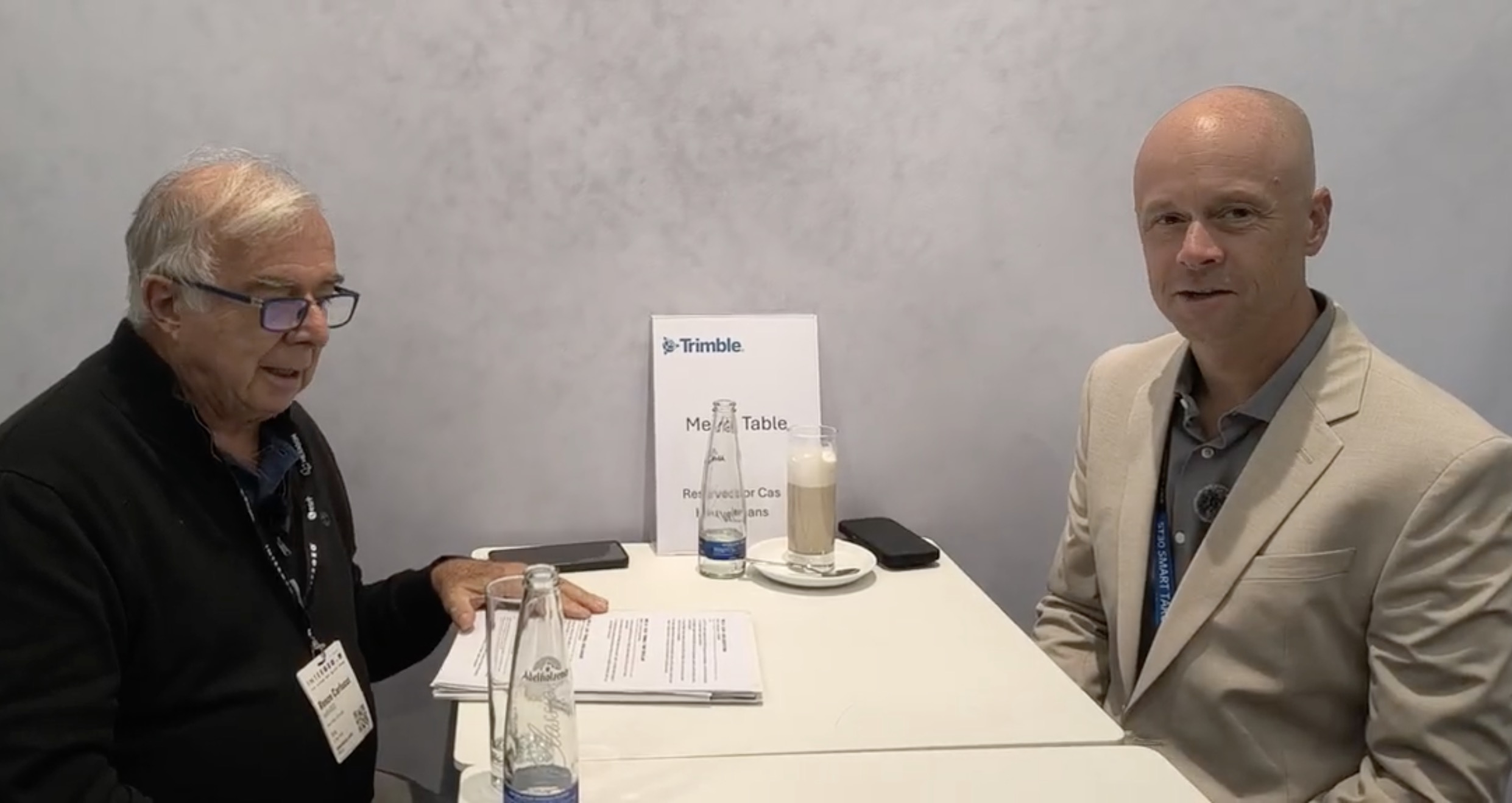
Reality Capture is becoming faster and increasingly mobile, but speed alone does not guarantee reliability: the real professional challenge is understanding uncertainty, validating the result and proving that the data can be trusted.
Reality Capture is becoming faster and increasingly mobile. SLAM systems allow professionals to walk through an environment while acquiring three-dimensional information, while precise GNSS positioning is expanding far beyond the traditional surveying community into construction, agriculture, autonomous systems and urban applications. But faster and easier acquisition raises a fundamental question: how do we know that the resulting data can be trusted?
GEOmedia discussed this question with Chris Trevillian, Director of Product Go-To-Market for Trimble’s Geospatial group and a former land surveyor.
The conversation explored the relationship between sensor quality and final positioning accuracy, whether SLAM reduces the work of the surveyor or simply moves part of that work to another stage of the workflow, and how high-precision positioning is becoming an increasingly widespread infrastructure.
GEOmedia: How much does the accuracy of Reality Capture depend on the accuracy of sensor positioning?
Chris Trevillian: If you have better sensor positioning, or if you use a better sensor with lower range noise and higher accuracy, it helps during registration, produces a better SLAM outcome and can give you a better positional result from the registration process. The cleaner the sensor, the less uncertainty you have in the overall solution. Perhaps that is the best way to describe it: the greater the uncertainty in your measurement error, the greater the uncertainty in your overall positioning error. Of course, this is also relative to the accuracy required for the particular application. Today, we see many sensors on the market being integrated into SLAM systems, and many of them provide fairly similar levels of point resolution and quality. Tripod-based scanners, however, still provide the highest accuracy and lowest range noise and, consequently, very strong Reality Capture positioning capabilities.
GEOmedia: Let us move specifically to SLAM. Do SLAM systems really reduce the amount of work a surveyor has to do, or do they simply change the nature of that work?
Chris Trevillian: I think it can be a little bit of both. It depends on the application the measurement professional or surveyor is working on. We see, for example, construction and utility surveyors using what might be considered a “good enough” SLAM process. They can walk through a site, capture the information they need and obtain useful results without necessarily having to perform extensive post-processing afterwards. That is possible because the information they are looking for may not always require the highest possible accuracy. Perhaps they need asset validation or want to determine whether a particular stage of work has been completed. In that case, they are less concerned with very fine details of positional accuracy and more interested in answering questions such as: Is this asset here? Has this work been completed? For those applications, SLAM can speed up the process quite dramatically.
Chris Trevillian: There is another side to the question, however. Capture can be completed faster, but the burden can then shift to a different part of the process. You need to ask: How do we geolocate this information? How do we know that it is accurate? How do we prove that the loop closure was performed correctly? You cannot necessarily check only the start point and the end point. You also need to check information in the middle of the trajectory to make sure that the required accuracy has been maintained. So, yes, in some cases the technology transfers part of the burden to a later stage of the process while making the field workflow considerably faster. It depends on which part of the workflow you are considering, but I think SLAM can be extremely valuable.
GEOmedia: This is an important issue. Some professionals argue that it is better to scan from fixed positions rather than while moving because movement introduces additional potential problems.
Chris Trevillian: With SLAM in particular, you may be able to demonstrate the loop closure at the end of the acquisition, but another question remains: how has the network adjusted between your starting point and your closure point? How does the traverse actually close? I think some of the strongest implementations are those where control is fitted and checked throughout the run, rather than relying only on the beginning and end. Those approaches are helping drive SLAM integration and acceptance. Ultimately, it is all about trust in your data.
GEOmedia: Is high-precision positioning becoming an infrastructure that is available everywhere rather than a specialized tool used mainly by surveyors? Are we seeing a democratization of this technology?
Chris Trevillian: Yes. If I look back, one of the points at which precise positioning started to become more democratized was with correction services and GNSS network corrections that could operate as broader infrastructure. We then saw precise positioning spread into other sectors. Agriculture was one of the early areas, followed by construction, and now we see it being applied in areas such as autonomous vehicles. More and more industries are leveraging precise positioning, and I expect that trend to continue. Whether we are talking about indoor sensing, locating city assets or other applications, I think precise positioning will increasingly be used across different workflows. Surveyors are still at the leading edge when it comes to pursuing the highest levels of accuracy. But accuracy requirements are now appearing in more and more sectors, including precision construction and precision agriculture. Precise positioning is becoming relevant to an increasingly broad range of users.
GEOmedia: Thank you very much.
“Ultimately, it is all about trust in your data.”
From faster capture to trusted positioning
The development of SLAM has changed one of the fundamental constraints of traditional laser scanning: the need to stop, establish a position, perform a scan and then move to the next location. Being able to capture continuously while moving can dramatically increase field productivity.
But the Trimble interview highlights an important distinction between speed of acquisition and confidence in the result.
A workflow can become faster without necessarily becoming simpler in every respect. If acquisition time is reduced but additional work is required to georeference, control and validate the resulting trajectory, part of the professional effort has not disappeared. It has moved from the field into another stage of the workflow. The relevant question therefore becomes not simply:
“How quickly can we capture the site?”
but also:
“How do we demonstrate that the resulting dataset is correct?”
This distinction has important implications for the surveying profession.
Automation and mobile mapping can reduce the amount of manual effort involved in collecting measurements. But as acquisition becomes increasingly automated, the ability to evaluate uncertainty and validate results becomes even more important. SLAM provides a particularly clear example. Closing a trajectory near its starting position can be an important indication of consistency, but Trevillian points to the need to consider what happens throughout the complete trajectory. Control observations distributed along the acquisition can provide additional evidence about how well the solution corresponds to known positions. The professional role therefore increasingly includes understanding not only how to acquire data, but also how to prove its quality.
Another important point is that not every Reality Capture task requires the same level of accuracy.
For some applications, the objective may be precise dimensional measurement. In those circumstances, low range noise, accurate positioning and rigorous control remain essential. For others, the question may simply be whether an asset exists in a particular location or whether construction work has reached a particular stage. In such cases, a rapid mobile workflow with lower absolute accuracy may still provide all the information required to support a useful decision. This is why the expression “good enough” is important. It does not mean that accuracy is unimportant. It means that accuracy must be evaluated against the purpose of the survey. The appropriate technology depends on the question that the data is expected to answer. At the same time, precise positioning technologies that were once closely associated with professional surveying are becoming relevant to a much wider range of activities. GNSS correction services and positioning infrastructure have helped extend high-accuracy positioning into agriculture, construction, autonomous systems and other sectors. The distinction may therefore become less about who has access to precise positioning and more about how much accuracy a particular workflow requires and how that accuracy is verified. Surveyors retain a particular role in this environment because their expertise extends beyond obtaining a coordinate. It includes understanding the quality of that coordinate, the measurement process that produced it and the uncertainty associated with the result.
The progression can therefore be understood as:
Better Sensors → Faster Capture → SLAM Workflow → Control → Validation → Trusted Positioning
Technology can make acquisition dramatically faster, but speed alone does not establish confidence.
As Reality Capture becomes increasingly automated, one of the surveyor's most important contributions may be the ability to answer a deceptively simple question: can we trust this measurement?
Explore all interviews & insights from Munich
Follow GEOmedia’s post-INTERGEO coverage across Reality Capture, GNSS & Positioning, GeoAI and Digital Twins.
EXPLORE THE COMPLETE SERIES →INTERGEO 2026 · Reality Capture & Precise Positioning
Trimble
Reality Capture · SLAM · GNSS · Precise Positioning · Sensor Accuracy · Validation · Control · Surveying · Positioning Infrastructure