LiDAR performance is no longer defined by range alone: faster acquisition, multiple scanning modes, integrated workflows and the ability to manage billions of points are becoming equally important.
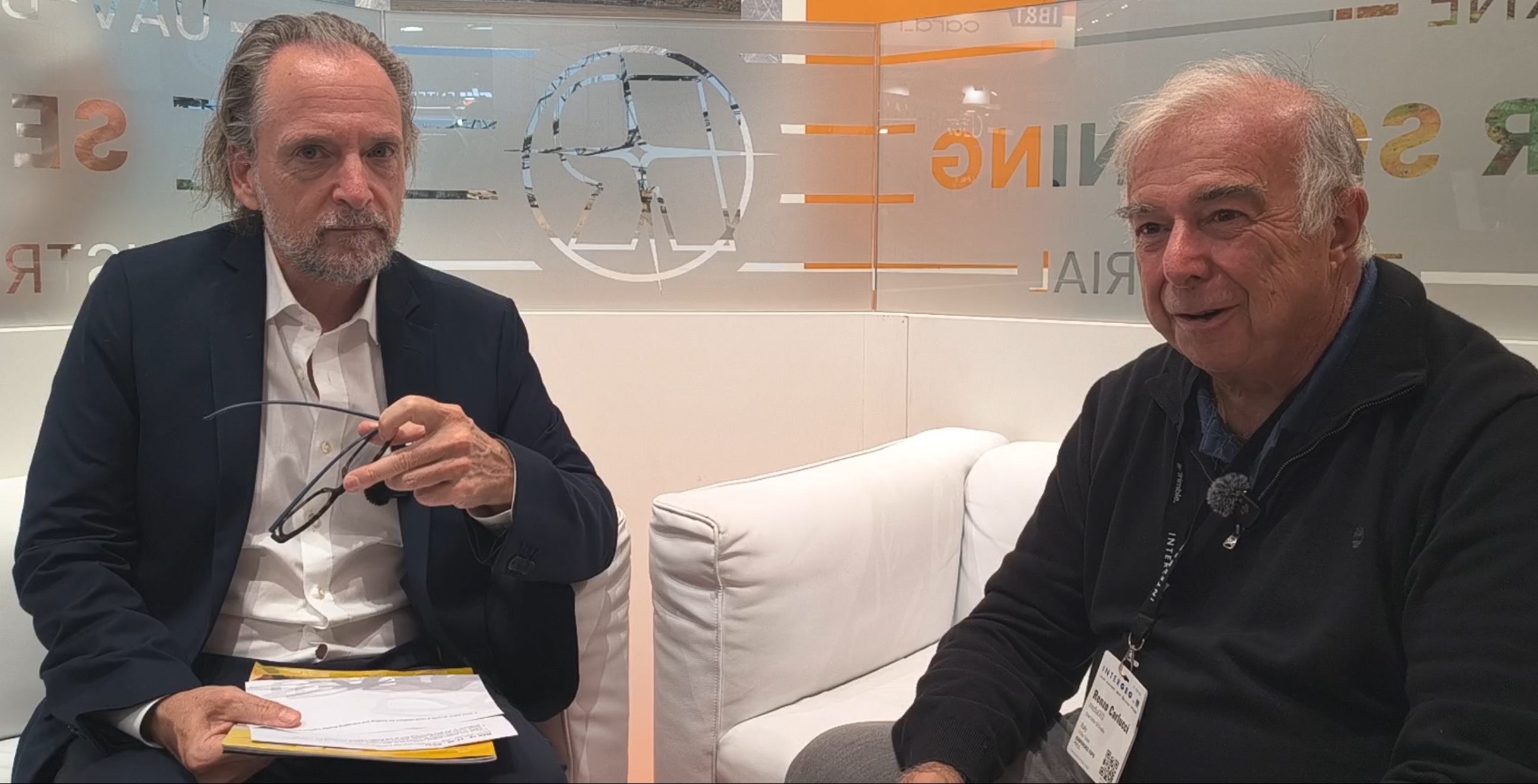
At INTERGEO 2026, GEOmedia spoke with Thomas Gaisecker, Business Division Manager for Long Range Scanning and Monitoring at RIEGL, about the evolution of terrestrial laser scanning beyond maximum distance. The discussion covered fast static scanning, millimetre-level kinematic acquisition, integration between terrestrial, mobile and airborne LiDAR, and the practical challenge of managing extremely large point clouds between local storage and the cloud.
For many years, one of the most visible measures of LiDAR performance has been range. The ability to acquire accurate measurements from increasingly long distances has opened applications in topographic surveying, mining, monitoring, snow and ice measurement and many other fields. But as laser-scanning technology matures, range is no longer the only parameter that matters. The challenge is increasingly shifting towards how quickly data can be acquired, how different acquisition modes can be integrated and how enormous quantities of high-quality 3D information can actually be managed.
GEOmedia: RIEGL has always pushed LiDAR towards very long ranges—or at least this is the message we have traditionally received in Italy. Is range still the main challenge today, or has the challenge moved somewhere else?
Thomas Gaisecker: If you look at the market and at our competitors, I would say that RIEGL offers very long-range capabilities with its terrestrial laser scanners. We have instruments with a maximum range of 4.5 kilometres, such as the VZ-4000i, and another instrument above that, the VZ-6000, which operates with a different wavelength and can also provide measurements on snow and ice at maximum ranges of more than six kilometres. But it is important for me to emphasize that while we are very strong in long-range scanning, we are also focused on short-range applications. We have our workhorse terrestrial laser scanner, the VZ-600i, with a maximum range of up to approximately 1,000 metres. At the same time, that scanner is also designed for applications below 100 metres, such as indoor surveying, building documentation and industrial facilities.
Thomas Gaisecker: Speed is particularly important in these applications. With the VZ-600i, we can perform a scan in approximately 30 seconds, providing six-millimetre resolution at a range of ten metres, including imagery. Once that scan is complete, you can move the scanner to the next position. This means that, under suitable conditions, it is possible to capture more than 60 scan positions within an hour. There is another important point. So far, we have been talking about terrestrial laser scanning, meaning static scanning from a tripod. But the same scanner can also be mobilized. We have a kinematic application for the scanner, which already has an onboard IMU and a mounted RTK GNSS receiver. This allows the user to perform kinematic data acquisition directly from a moving platform.
So we can use one sensor for both static and mobile data acquisition.
GEOmedia: But this is not SLAM technology?
Thomas Gaisecker: No, and that is important to mention. It is not based on a SLAM algorithm. First of all, it does not work indoors in the same way because we require GNSS—in particular, RTK GNSS. What it provides is high-accuracy mobile mapping. Even in mobile mode, we can achieve millimetre-level accuracy. That represents an important difference compared with SLAM-based approaches.
GEOmedia: From what I understand, RIEGL now has systems operating across many different platforms. Is there a common workflow for managing data coming from airborne LiDAR and the other instruments? Is there software that allows users to manage and combine all these different sources?
Thomas Gaisecker: We have a complete suite of software products. For kinematic and airborne laser-scanning data, we have our standard software product RiPROCESS. For static scans, we have RiSCAN PRO. We can exchange data directly between the two environments. For example, we can easily combine kinematic data with static data. In many applications, we can also combine ULS data captured from drones with static laser-scanning data acquired from the ground. This is part of our standard workflow.
We also have our own data format, RDB—RIEGL Database format, which is designed to handle point clouds containing billions of points.
Using this approach, it is possible to work on a standard laptop with a 3D point cloud containing, for example, five billion points, including interactively rotating and navigating the dataset on screen. Of course, our sensors generate enormous amounts of data. But alongside the acquisition systems, we also need a data format capable of efficiently managing these very large datasets on standard computers.
GEOmedia: Do you also provide solutions for storing this data in the cloud? Can point clouds be made available through cloud systems, or do they still need to remain on the surveyor's computer?
Thomas Gaisecker: “Cloud” is a complex term because it can mean many different things. Yes, we work with cloud environments. For terrestrial laser-scanning data, for example, we can synchronize the data from the scanner to network-attached storage or cloud storage. At that point, it becomes mainly a question of the bandwidth available for data transmission. The scanner is equipped with wireless LAN, so it can be connected to a hotspot, including a mobile-phone hotspot. If you have a 5G internet connection, for example, the scanner can use that connection to upload data to cloud storage.
But there is another aspect to consider. We do not generally work directly from cloud-hosted data when visualizing extremely large point clouds because, for datasets of that size, it is not necessarily practical.
As I mentioned earlier, we can handle point clouds containing billions of points. To do that efficiently, however, we need fast local storage, such as SSD drives. The point cloud uses a hierarchical structure. As you zoom into the dataset, additional data is loaded from the storage device and made immediately available. With cloud storage, the transmission speed generally cannot provide the same performance for datasets of this scale. This means that if you have a point cloud containing billions of points and want to interact with it in real time on screen, you normally need to download the data to the local machine. For smaller datasets, working directly through cloud-based systems is possible.
Ultimately, it is always a trade-off between data quality, the number of points, transmission performance and real-time visualization.
GEOmedia: Thank you very much for the interview.
“It is always a trade-off between data quality, the number of points, transmission performance and real-time visualization.”
From LiDAR range to complete workflow performance
The conversation with RIEGL illustrates how the criteria used to evaluate laser-scanning technology are expanding. Maximum range remains important. There are applications in which measuring objects several kilometres away is fundamental, and specialized instruments continue to push those limits. But for many geospatial applications, the productivity of a scanner is increasingly determined by a broader set of questions. How quickly can a complete scan be captured? How many positions can be acquired during a working day? Can the same sensor move between static and kinematic acquisition? How easily can terrestrial measurements be combined with UAV or airborne LiDAR? And, once all that information has been captured, how efficiently can billions of points actually be managed?
These questions move the discussion beyond the specifications of an individual sensor and towards the performance of the complete geospatial workflow.
The possibility of using the same scanner for both static and kinematic acquisition is particularly relevant from this perspective. Traditionally, terrestrial laser scanning and mobile mapping have represented distinct approaches, often involving different hardware and processing environments. Integrating IMU and RTK GNSS with a terrestrial scanner creates the possibility of moving between these modes while maintaining a common sensor platform. Gaisecker also draws an important distinction between this approach and SLAM-based mobile scanning.
SLAM has made mobile Reality Capture increasingly accessible, particularly in GNSS-denied environments. The RIEGL approach described in the interview addresses a different requirement: kinematic acquisition supported by GNSS/RTK positioning where maintaining very high metric accuracy is a priority. The technologies therefore address different operating conditions and different balances between mobility, positioning infrastructure and required accuracy.
Perhaps the most significant issue, however, appears after acquisition.
Modern LiDAR systems can generate billions of points, and integrating terrestrial, mobile, UAV and airborne acquisitions can produce datasets of extraordinary scale. At that point, the challenge is no longer simply how to measure reality. It becomes how to make the resulting digital representation manageable. Efficient data formats, hierarchical point-cloud structures, fast storage and integrated processing software become fundamental parts of the Reality Capture workflow. This also explains why moving everything to the cloud is more complex than it may initially appear. Uploading information to remote storage and interactively working with billions of points are two different problems. Wi-Fi and 5G can support data transfer, but real-time visualization of extremely large datasets still depends heavily on bandwidth, latency and the performance of local storage.
The choice is therefore not simply between local and cloud. The appropriate architecture depends on dataset size, required responsiveness, connectivity and the type of operation the user needs to perform.
The evolution described by RIEGL can be summarized as:
Range → Speed → Static & Kinematic Capture → Data Integration → Massive Point-Cloud Management → Usable Information
Range remains one of LiDAR's defining technical parameters, but it is increasingly only one component of a larger system. As acquisition becomes faster and multiple platforms generate increasingly dense datasets, the technological challenge moves progressively downstream towards integration, storage, visualization and usability.
Modern LiDAR performance can no longer be measured only in kilometres. It must also be measured by how efficiently billions of accurately captured points can be transformed into usable geospatial information.
Explore all interviews & insights from Munich
Follow GEOmedia’s post-INTERGEO coverage across Reality Capture, GNSS & Positioning, GeoAI and Digital Twins.
EXPLORE THE COMPLETE SERIES →INTERGEO 2026 · LiDAR & Reality Capture
RIEGL
VZ-600i · VZ-4000i · VZ-6000 · Terrestrial Laser Scanning · Mobile Mapping · RTK GNSS · RiPROCESS · RiSCAN PRO · RDB · Point Clouds