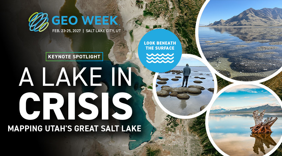
A large-scale mapping project combining bathymetric lidar, aerial acquisition and advanced geospatial processing will take centre stage at Geo Week 2027, showing how new elevation data can support environmental monitoring and decision-making around the shrinking Great Salt Lake.
Geo Week has announced one of the first keynote presentations for its 2027 edition, which will take place from 23 to 25 February 2027 at the Salt Palace Convention Center in Salt Lake City, Utah. The session, titled “A Lake in Crisis: Mapping Utah’s Great Salt Lake,” will focus on an ambitious project designed to map portions of the lakebed, wetlands and deeper-water environments using bathymetric lidar.
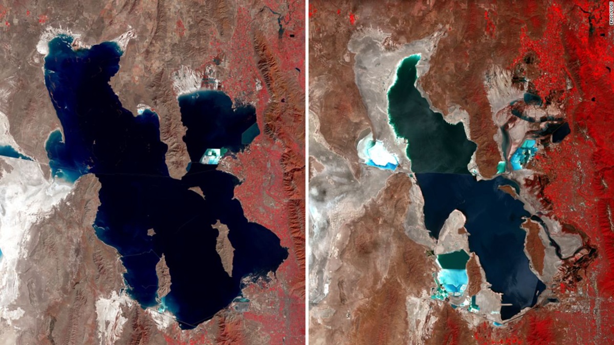
The Great Salt Lake has been undergoing major changes in water level and shoreline extent. Beyond its environmental importance, the lake supports migratory bird habitats, contributes to the brine shrimp industry and can affect nearby communities when exposed lakebed sediments become airborne. Improving knowledge of the lake’s underwater morphology is therefore becoming increasingly relevant for scientists, public authorities and environmental managers. Geo Week
Mapping a difficult and constantly changing environment
The project brings together the Utah Geological Survey, Aero-Graphics and Dewberry. According to Geo Week, the workflow combines aerial surveying, green-wavelength bathymetric lidar, multi-sensor mission planning and advanced data processing. The technical challenge is considerable. Bathymetric lidar measurements must deal with turbid water, variable water depths, wetlands and continuously changing shoreline conditions. The new survey is intended to improve upon legacy datasets while providing more detailed information on areas of the lakebed that have historically been difficult to observe. The resulting datasets are expected to reveal features including lakebed morphology, microbialite reef structures, wetlands and geological formations, while also helping researchers identify priorities for future investigation.
From lidar acquisition to environmental decision support
The keynote illustrates a broader evolution within the geospatial sector: increasingly, large-scale lidar projects are moving beyond the production of elevation models and becoming part of integrated environmental monitoring and decision-support workflows. Bathymetric lidar is particularly relevant in environments where conventional terrestrial or airborne laser scanning cannot provide sufficient information below the water surface. By using green laser wavelengths capable of penetrating water under suitable conditions, these systems can generate measurements of both the water surface and submerged terrain. Combined with imagery, GIS and other remote-sensing datasets, these measurements can support more complete digital representations of dynamic coastal and inland-water environments.
A local case with wider geospatial implications
The session will be moderated by Kelly Francis, Co-President of Aero-Graphics, and will include Bonnie Baxter, Director of the Great Salt Lake Institute at Westminster College; Josh Novac, Associate Vice President and Program Manager at Dewberry; and Michael Vanden Berg, Energy & Minerals Program Manager at the Utah Geological Survey.Although the project is centred on Utah, the technological approach has broader relevance for the monitoring of lakes, rivers, wetlands and coastal environments affected by climate variability, changing water availability and increasing pressure from human activities. Geo Week’s 2027 conference programme will cover technologies including lidar, laser scanning, photogrammetry, remote sensing, reality capture, machine learning and AI, with a strong focus on operational workflows and real-world applications.
The “A Lake in Crisis: Mapping Utah’s Great Salt Lake” keynote is currently scheduled for Wednesday, 24 February 2027 at 2:00 PM. Additional keynote presentations are expected to be announced by the organisers.
Source: ( GeoWeek 2026 )