Reality Capture is becoming faster, more mobile and increasingly connected with precise positioning, cloud platforms and established surveying software.
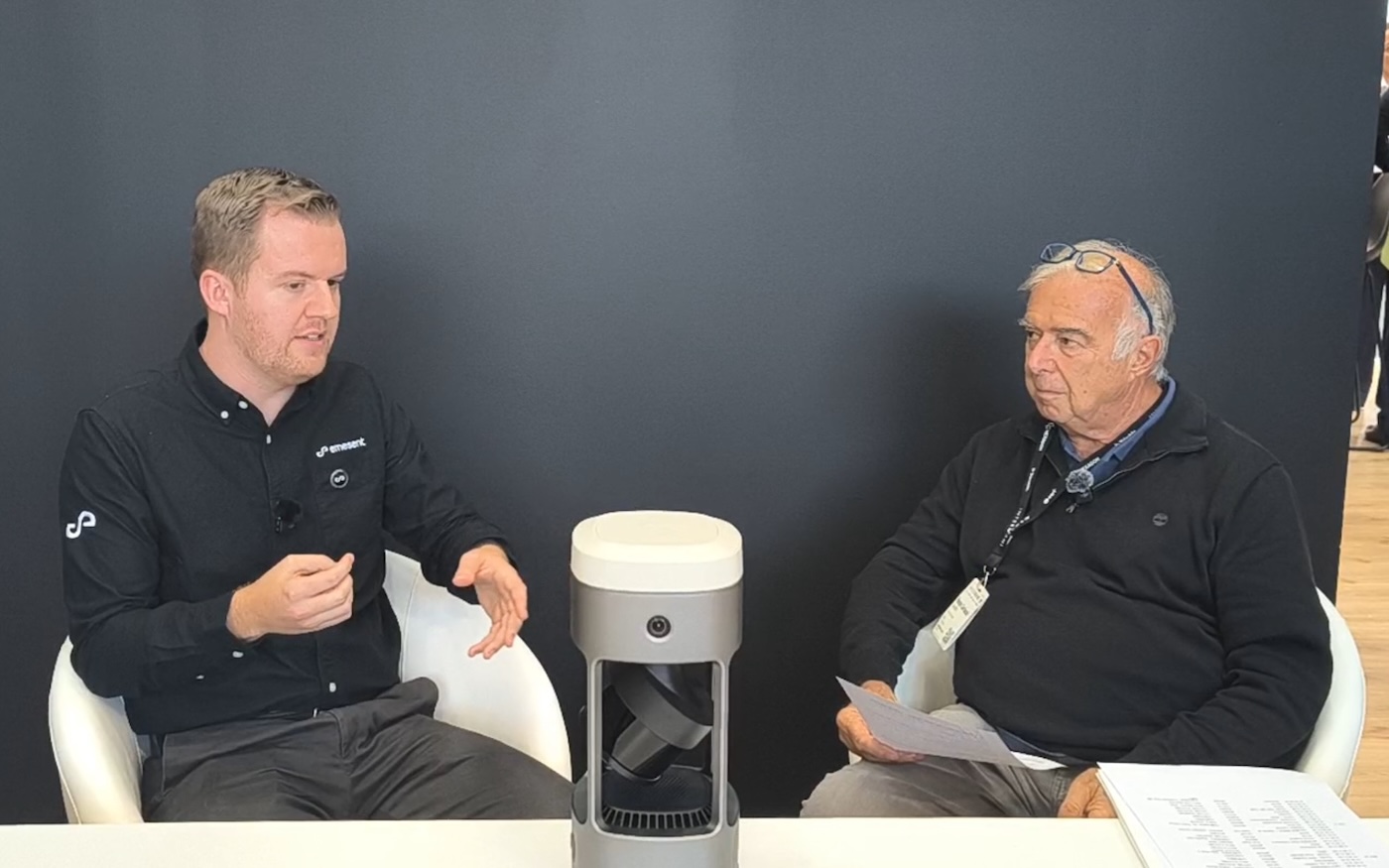
At INTERGEO 2026 in Munich, GEOmedia spoke with Ryan, Director of Product Management at Emesent, about the GX1 system, Aura Cloud and the integration with Trimble Connect. The conversation moved beyond the performance of a single scanner to a broader question: how can different surveying technologies be combined into a reliable field-to-finish workflow? A central theme emerged throughout the interview. SLAM can accelerate acquisition, but the right level of accuracy depends on the task, the deliverable and the decisions that will ultimately be made from the data.
Renzo Carlucci, GEOmedia: The GX1 combines SLAM, RTK and 360-degree imaging, while Aura and Aura Cloud extend the workflow into processing and cloud environments. Is the workflow now complete from beginning to end?
Ryan, Emesent: It's a really good question. At what point is the job complete? From a surveyor's perspective, ultimately, it's often complete when the client is happy. That's something we always have to keep in mind: there's typically someone else behind the deliverable.
From Emesent's perspective, we don't try to cover every single part of the workflow. We know there are many experts using fantastic software that is already an established part of their processes, and we want to make sure we support those tools. For example, many people use Revit, and that's a really important part of their workflow. We're not going to try to reinvent that. Instead, we're going to make sure we give them the best-quality data we can, in a form that fits into their existing workflow.
With Aura Cloud, which we've been introducing here at INTERGEO, we've taken that integration to the next level. We now have an exciting new integration with Trimble and Trimble Connect.
This allows users and surveyors within the Trimble ecosystem to take data from the GX1, together with the images, and, when the data is georeferenced using RTK or GCPs, automatically sync it with Trimble Connect. Trimble Connect is, of course, the gateway into the Trimble ecosystem. From there, users can take the data into Trimble Business Center, for example, to create the final deliverable. We've been getting a great deal of feedback from our user base on this approach.
It's not about Emesent delivering the entire end-to-end, field-to-finish solution. It's about making sure we can help users achieve a field-to-finish workflow by integrating with the other solutions they already use.
GEOmedia: As SLAM becomes faster and easier to use, where does measurement accuracy still make the real difference for professional users?
Ryan, Emesent: People working within the Trimble ecosystem are typically used to very high-quality scanners and exceptional data. From a SLAM perspective, that's something we've already been supporting for many Trimble users. It's important to acknowledge that the accuracy you need depends on the job. It depends on the deliverable, who you're serving and what they need. It's about finding the right tool for the task.
If I'm assessing the environment around us here, for example, is SLAM going to be appropriate if I need something that's millimetre-accurate and requires extremely high detail? No, it's not, and we shouldn't pretend that it will be.
What we see, in fact, is that combining different scanning techniques can make the entire job much more effective. If you try to do everything with one piece of equipment, it might take too long, or it might provide more than you actually need.
On the other hand, if you use something that's lower-grade, the survey might be very quick, but you may not get the output you need.
The real effectiveness comes from combining those different techniques. By bringing everything together within the Trimble ecosystem, you can merge different types of data and then deliver the results to your client.
GEOmedia: Where does the surveyor's role end today? Does it end with delivering an accurate point cloud, or does the surveyor increasingly need to provide information that supports the end user's decisions?
Ryan, Emesent: That's an interesting question. Is the role of the surveyor simply to obtain accurate data, or is it also to help the user make a decision? Ultimately, the purpose of spatial data is to do something with it. It's about enabling decisions. Accuracy is an important prerequisite for making those decisions because you need to have confidence in the data. You need to understand how the data was captured, what its limitations are and what validation has taken place. When you're making decisions based on that data, you need to understand its boundaries.
That's something we spend a lot of time helping our users with, because SLAM can be difficult to understand. One environment may be well suited to SLAM, while another may be less suitable.
Helping people become familiar with those differences is important, just as the industry had to become familiar with RTK and GNSS and the variability associated with them. I think that's a really important part of helping SLAM scanners become trusted tools that can support decision-making.
Ryan, Emesent: “If you can't trust the data, you can't trust the decision.”
From field-to-finish to data-to-decision
The Emesent interview reflects a broader change taking place across Reality Capture.
The challenge is no longer simply to acquire as much data as possible, as quickly as possible. Increasingly, professional value lies in understanding which acquisition technique is appropriate for a particular task, how different datasets can be integrated and whether the resulting information is reliable enough to support the required decision.
SLAM, RTK, terrestrial scanning, cloud platforms and specialist processing software therefore do not necessarily compete with one another. They can become complementary parts of the same workflow.
Capture → Position → Validate → Integrate → Deliver → Decide
In that progression, acquisition is only the starting point. The real objective is trusted information.
Explore all interviews & insights from Munich
Follow GEOmedia’s post-INTERGEO coverage across Reality Capture, GNSS & Positioning, GeoAI and Digital Twins.
EXPLORE THE COMPLETE SERIES →INTERGEO 2026 · Reality Capture
Emesent
GX1 · SLAM · RTK · Aura Cloud · Trimble Connect