Artificial intelligence is increasingly becoming part of the geospatial workflow, from the automatic classification of point clouds to the extraction of objects and information from large-scale imagery and LiDAR datasets.
Artificial intelligence is increasingly becoming part of the geospatial workflow, from the automatic classification of point clouds to the extraction of objects and information from large-scale imagery and LiDAR datasets. But as algorithms become more powerful, a fundamental question remains: how much can we trust AI if we cannot fully trust the geospatial data behind it?
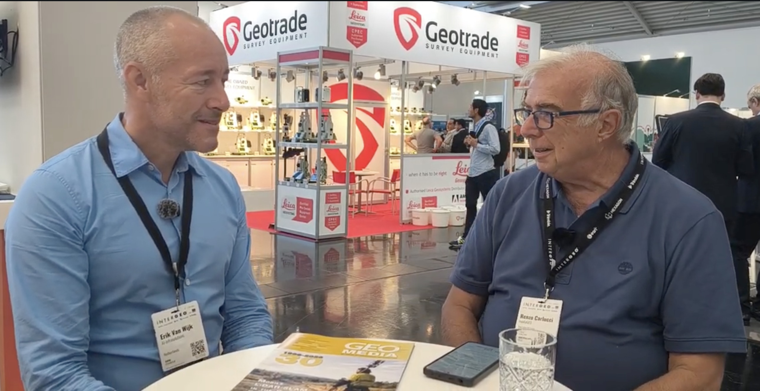
At INTERGEO 2026 in Munich, GEOmedia discussed this question with Eric van Wijk, CTO of AI InfraSolutions, focusing on the reliability of automatic object identification, the role of machine learning and active learning, and the importance of controlling the quality of source data.
A central theme emerged throughout the conversation. Artificial intelligence can improve the way information is extracted from measurements, but the reliability of the result remains closely connected to the quality of the observations on which the models are trained and applied.
Renzo Carlucci, GEOmedia: We are here today with AI InfraSolutions and Eric van Wijk. Eric, could you introduce yourself?
Eric van Wijk: My name is Eric van Wijk. I recently joined AI InfraSolutions as CTO, and I am responsible for everything related to technology within the company. My background is in energy. I own a company in the energy sector, and I am relatively new to the geospatial field. It is a very interesting domain in which there are many new things to learn.
GEOmedia: When AI automatically identifies objects in a point cloud, what level of reliability can we achieve today? If we wanted to express it simply in percentage terms, what could we expect?
Eric van Wijk: In general, it all depends on the data you have to work with. The better the data going into the models, the more accurate those models can be. On the other side, you also need to train the models. Traditionally, models have been trained using labelled data. With this approach, I think accuracies somewhere between 80% and 95–96% are achievable. But now we are also moving towards active learning. We can train the model while we label the data. This can speed up the whole training process, and accuracy can become much higher with these new models and new ways of training them.
GEOmedia: So, to put it simply, we could call this machine learning?
Eric van Wijk: Exactly. Everyone calls it AI, but in the end, in this case, it is essentially machine learning.
GEOmedia: Can we trust AI if we cannot fully trust the geospatial data behind it? Suppose the original geospatial data is not sufficiently accurate or clear. AI has the capacity to process and improve information, but can we trust that process?
Eric van Wijk: We cannot invent information. If the data is not there, we cannot simply add it. We are absolutely dependent on what we measure—in our case, with sensors mounted on cars and bicycles. As with the previous question, the quality of the input data is extremely important. When we started AI InfraSolutions, we did not collect the data ourselves. We depended on third parties to deliver the data to us, but we found that its quality was not good enough for what we wanted to achieve.
So we decided to carry out our own mobile mapping and data collection. For five years now, we have been conducting nationwide data collection in the Netherlands, collecting both imagery and LiDAR data. As a result, we have much better source data. That allows us to create better AI—or ML—models and ultimately increase the accuracy of the results.
So the quality of the input data is really important.
GEOmedia: This also raises a question of responsibility. Who should control the geospatial data used by AI? If I receive geospatial data that is inaccurate, who is responsible: the producer of the original data or the organization that analyses and uses that data?
Eric van Wijk: I think the people who create the models are responsible for what the output of those models will be. But again, there are two sides to the question. The data going into the model is an important factor. At the same time, the people who extract information from that data using models are responsible for controlling the output—what we can see and what we can identify in all the data we collect.
GEOmedia: So if the input data is not good, the output cannot somehow become better simply because AI is being used?
Eric van Wijk: Exactly. We cannot do magic. If the input data is bad, the results will be bad as well, and the accuracy will be affected. On the other hand, if the input data is good, and if we control that input data ourselves, then the models can really perform and provide us with a great deal of information.
“We cannot do magic. If the input data is bad, the results will be bad as well.”
From GeoAI to trusted geospatial information
The AI InfraSolutions interview highlights a broader issue emerging as artificial intelligence becomes increasingly embedded in geospatial workflows. The challenge is no longer simply to develop more powerful algorithms or to process increasingly large datasets. Professional value also depends on understanding the quality of the observations entering the model, the way those models have been trained and the reliability of the information ultimately extracted from the data.
Machine-learning models can identify, classify and extract information from enormous datasets far more efficiently than traditional manual workflows, while techniques such as active learning can accelerate model development. But an algorithm cannot reliably recover spatial information that was never captured by the sensors. This is particularly important for applications based on mobile mapping, imagery and LiDAR point clouds, where acquisition conditions, sensor performance, coverage and overall data quality directly influence what can subsequently be detected and classified.
AI InfraSolutions' decision to move from third-party datasets to its own nationwide data acquisition illustrates this relationship particularly clearly. Greater control over the acquisition process can provide better source data, which in turn can support more reliable machine-learning models and more accurate information products. The conversation also points to another increasingly important question: responsibility. Reliable GeoAI does not depend on the algorithm alone. Data producers, model developers and the organizations interpreting the resulting information all form part of the same chain.
Measure → Validate → Train → Classify → Decide
In that progression, artificial intelligence is not a substitute for good geomatics. It is another layer built upon it. The quality of the decision still depends on the quality of the evidence behind the model.
"Reliable GeoAI starts with reliable geospatial data"
Explore all interviews & insights from Munich
Follow GEOmedia’s post-INTERGEO coverage across Reality Capture, GNSS & Positioning, GeoAI and Digital Twins.
EXPLORE THE COMPLETE SERIES →INTERGEO 2026 · GeoAI
AI InfraSolutions
Point Clouds · Machine Learning · Active Learning · LiDAR · Mobile Mapping · Data Quality