Call for articles - GEOmedia magazine 2027 Editorial Programme
GEOmedia è la prima rivista italiana di geomatica a carattere scientifico-divulgativo. Da 30 anni pubblica argomenti collegati alle tecnologie dei processi di acquisizione...
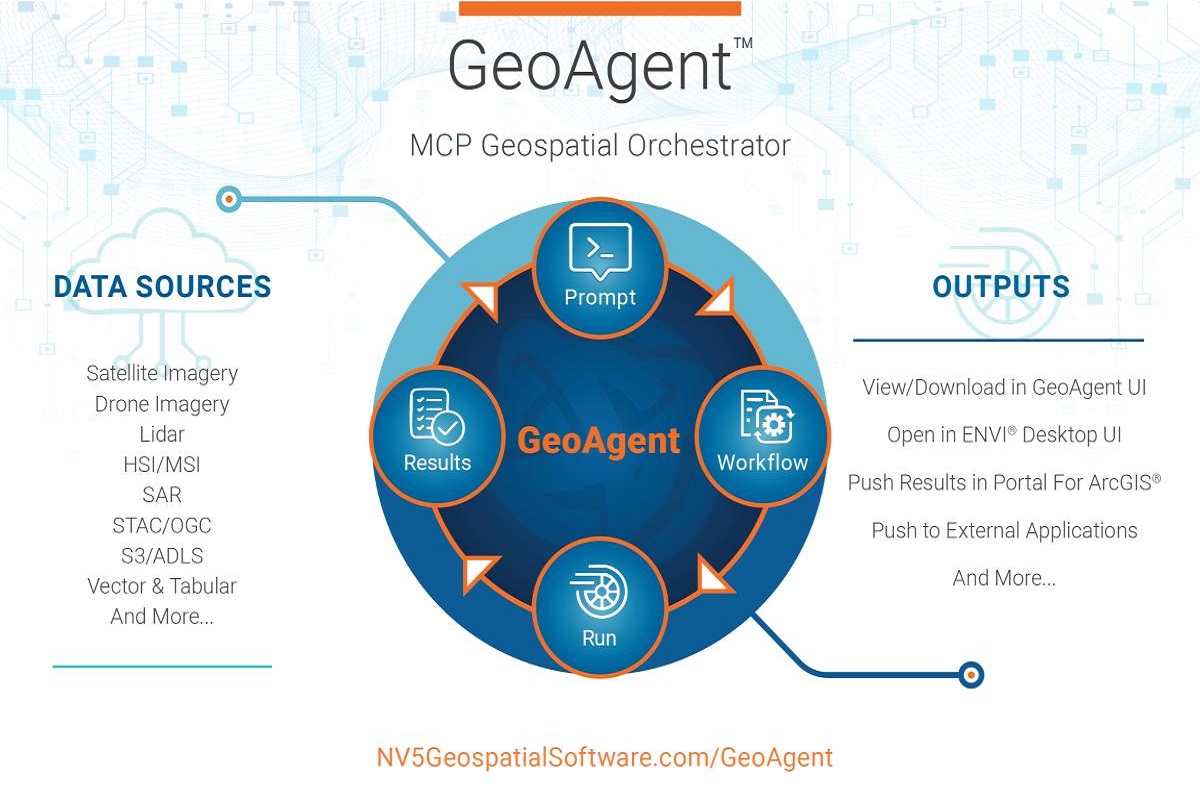
From AI Pilots to Operational GeoAI: How Agentic AI Is Transforming Geospatial Workflows
An interview with NV5's Principal AI Architect Chancee Vincent highlights a critical transition in geospatial intelligence: moving beyond isolated AI models towards integrated...
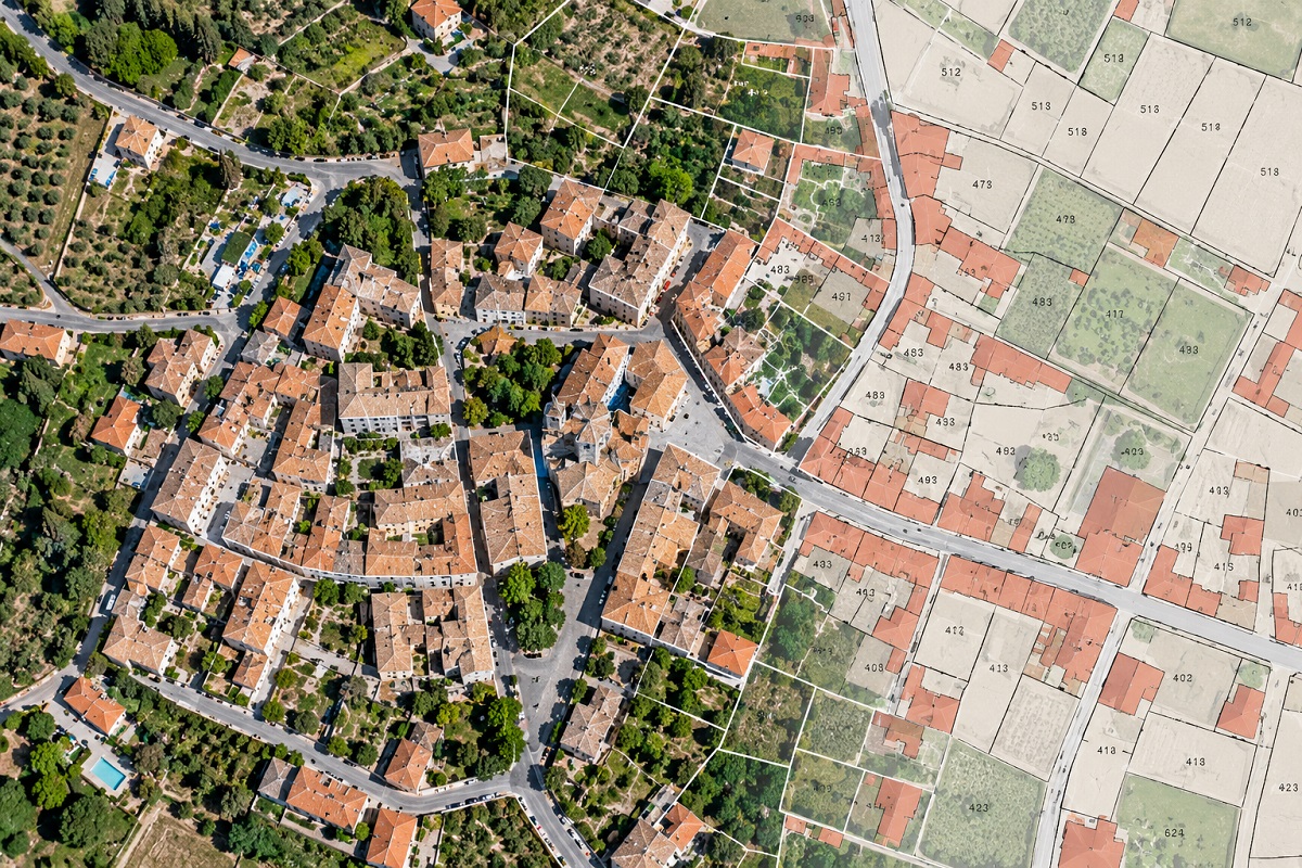
Embracing modern aerial technologies to enhance accuracy in Italy
The Italian Revenue Agency’s experimentation with drone-based photogrammetry brings a practical question into focus: how can aerial surveying support the quality and updating of...
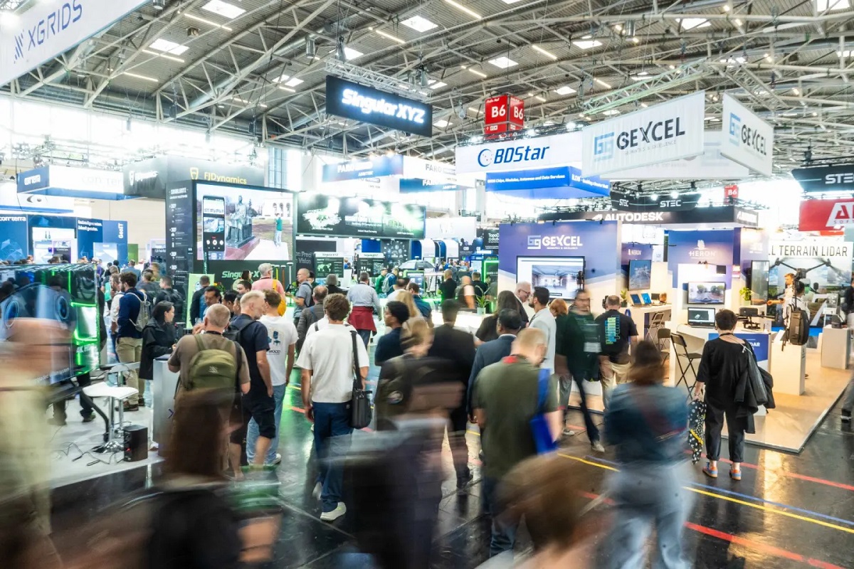
INTERGEO 2026: GeoAI, Digital Twins and Reality Capture Mark a New Phase for the Geospatial Industry
INTERGEO 2026, held in Munich from 15 to 17 September, highlighted a significant transformation in the geospatial industry: the transition from standalone technologies to...
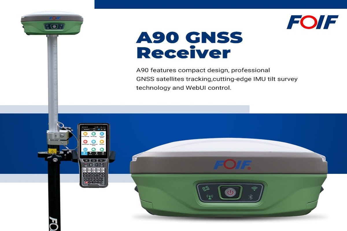
FOIF GNSS and Total Station: One Integrated Surveying Workflow with FoifPad 4.2
From satellite positioning to total station measurements, vidaLaser presents an integrated solution combining the FOIF A90 GNSS receiver, RTS102R6 total station and FoifPad 4.2...
Geo Week 2027 Conference Program and Speaker Roster Announced
Sessions tackle AI realities, subsurface mapping, resilient infrastructure, workforce challenges and more, plus new Digital Insider Access option.
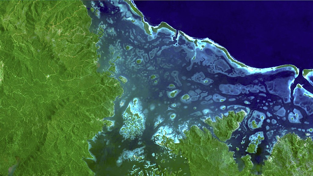
FAO’s SEPAL: Satellite Technology for Smarter Forest Monitoring
Satellite Earth observation, radar technologies and cloud-based geospatial platforms are transforming forest monitoring worldwide. FAO's SEPAL initiative demonstrates how...

Trimble Introduces Next-Generation GNSS Performance with New Receivers and Enhanced Technology
GNSS receivers employ new technology to deliver comprehensive anti-jamming and anti-spoofing capabilities, better performance and future-ready support for low-earth orbit...

Emesent Secures $2M Grant to Develop GPS-Denied Autonomy Platform Cortex AI
Emesent, an autonomous mapping and robotics company, has been awarded a $2 million USD grant from the Australian Government’s Cooperative Research Centres Projects (CRC-P) program...

Reality Capture Is Changing: From LiDAR and SLAM to Intelligent 3D Mapping
Ahead of INTERGEO 2026 in Munich, reality capture is emerging as one of the most dynamic areas of the geospatial industry. LiDAR, SLAM, imaging and AI are converging into...