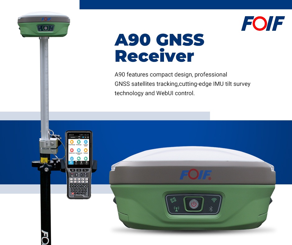
From satellite positioning to total station measurements, vidaLaser presents an integrated solution combining the FOIF A90 GNSS receiver, RTS102R6 total station and FoifPad 4.2 software in a single surveying workflow.
Modern surveying increasingly requires flexibility, efficient data management and the ability to combine different measurement technologies without interrupting field operations. Integrating GNSS positioning and conventional total station measurements into a single working environment can simplify surveying activities and reduce the need for separate data processing. With the FOIF A90 GNSS receiver, RTS102R6 total station and FoifPad 4.2 software, vidaLaser offers a practical solution for managing different surveying methods within the same project, from field acquisition to final data export.
FOIF A90 – Versatile GNSS Positioning
The FOIF A90 GNSS receiver combines a compact magnesium housing with integrated technologies designed for professional surveying applications. Equipped with an activated UHF transceiver, mobile data connectivity, an Inertial Measurement Unit (IMU) and internal memory, the A90 can operate as either a base station or a rover, using cellular or UHF radio communication. Its versatility makes it suitable for a wide range of field applications, providing GNSS positioning capabilities within an integrated surveying environment.
FOIF RTS102R6 – Reliable Total Station Measurements
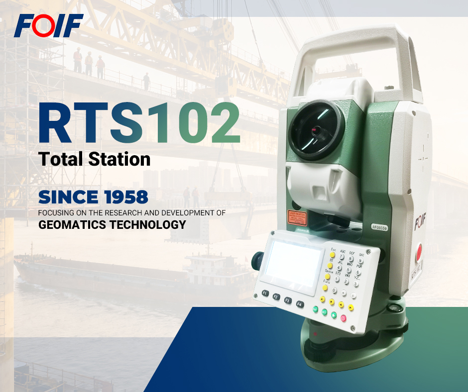
The FOIF RTS102R6 is a manual total station offering 2-arcsecond angular accuracy and the essential functions required for professional topographic surveying. Its main features include reflectorless distance measurement up to 600 metres, a laser plummet, Bluetooth connectivity, onboard surveying software and SD card support for data transfer. Designed for conventional surveying operations, the RTS102R6 complements GNSS measurements whenever a total station is required, allowing surveyors to continue working within the same project.
FoifPad 4.2 – Connecting GNSS and Total Station Data
The key element of this integrated solution is FoifPad 4.2, the surveying software installed on the Android controller used with the FOIF A90. Through Bluetooth connectivity, the same controller can communicate with the FOIF RTS102R6 total station, allowing surveyors to work with a single project file. For example, after collecting points with the A90 GNSS receiver, the operator can position the total station on an already surveyed point, orient it towards another GNSS-measured point and continue the survey using conventional measurements.

The result is one project file containing both GNSS and total station observations, avoiding the need to manage separate datasets.
FoifPad 4.2 also provides a comprehensive set of field functions, including:
- Surveying and stakeout operations
- Free station calculations
- Integrated CAD functionality
- Cross-section calculations and road stakeout
- Area and inaccessible-point height calculations
- Distance calculations and point-on-line operations
Survey data can be exported in several formats, including TXT, DAT, CSV and DXF. Custom data strings can also be configured to meet the requirements of office processing software.
A More Efficient Approach to Integrated Surveying
The combination of the FOIF A90, RTS102R6 and FoifPad 4.2 demonstrates how GNSS and total station technologies can complement each other within a unified workflow. Rather than managing two independent measurement systems, surveyors can move between satellite positioning and conventional observations while maintaining continuity in their field data. This integration is also available with other compatible instrument models.
vidaLaser has been FOIF's importer and technical service provider in Italy since 2003, supporting surveying professionals with equipment, technical assistance and application expertise.
For further information
vidaLaser – Geom. Oreste Vidal
Website: www.vidalaser.com
Email: [email protected]
Phone: +39 02 9371038
Mobile / WhatsApp: +39 347 2632089