Surveyors can spend days creating highly accurate point clouds, but if the final deliverable is simply a large file handed over to the client, much of the potential value of that information may remain unused.
Is that really where the value of a survey should end?
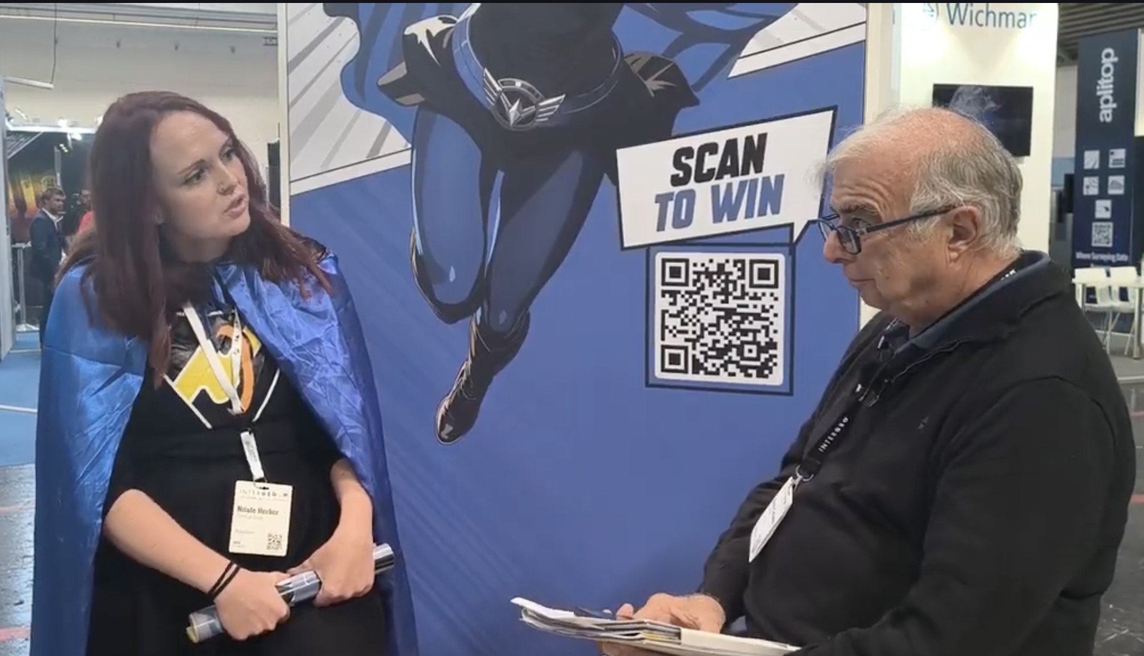
GEOmedia discussed this question with Nicole Herber, CMO at PointCab and responsible for business development for PointCab Nebula, focusing on how point-cloud information can remain accessible, understandable, shareable and useful long after the original survey has been completed. A central theme emerged from the conversation: delivering accurate data is no longer enough. To continue generating value, geospatial information must also be accessible to the people who need to use it.
GEOmedia: A surveyor can spend days creating an accurate point cloud and then simply deliver a file to the client on a hard drive. But is that really the end of the job—to deliver only the data on a disk?
Nicole Herber: As of right now, it often is, and that is a problem. We frequently talk to surveyors' customers, and they tell us: “It is great that we have this extremely accurate data, but we have a hard time managing it.” They would like the surveyor to provide data that they can easily use—not only data that specialists can work with, but information that can also be shared with different people within an organization. I think surveyors have worked in this way in the past, but they now need to start thinking differently. Their clients want to do more with the data, and they want to be able to use that information over a longer period of time rather than just once.
GEOmedia: Once the point cloud has been delivered, what needs to happen for that data to remain useful and continue creating value for the client over time?
Nicole Herber: First of all, the data has to be accessible. I think it is very positive that we have open point-cloud formats, for example, and that more and more hardware manufacturers and distributors give users the opportunity to store their data in open formats. We need formats that we can all agree on. But the data also has to be accessible to different kinds of people—not just the surveyor or the architect. Basically, everyone who needs access to the information should be able to access it without requiring specialized software or specialized knowledge. If you want to use this information for a long time, you have to make it accessible to everyone who needs it.
GEOmedia: So you mean making it accessible to people who are not necessarily specialists?
Nicole Herber: Exactly. Surveying used to be something very specialized. Now, with the rise of SLAM scanners, we see that scanning itself is becoming easier. You no longer necessarily have to be a highly specialized professional simply to perform a scan. More and more people are therefore entering this market, and more people are requesting and using this type of data. But they need to receive the information in a form they can actually use.
GEOmedia: A point cloud can become part of a Digital Twin. What is the role of software such as PointCab Nebula in this process? How do you transfer this data to the cloud?
Nicole Herber: With PointCab Nebula, what we do is provide access to point-cloud data for people who do not have—or do not need—specialized software. For example, you can use PointCab Origins or Nebula Creator to process your project and then upload it to the cloud. An important aspect is that you can upload the project to your own cloud environment. We do not have to host the data ourselves; the data remains yours. You can host it using services such as Google Drive, Amazon or Microsoft, or on your own server using Nextcloud. This is a particular approach that not many solutions offer. Once the data is hosted, you have different options for visualizing and working with it. For example, we can visualize an IFC model and the point cloud together in the same view. You can also access orthophotos, use a standard point-cloud visualization or see the individual scan positions. Users can also take measurements directly from the project. The idea is to make these operations extremely simple and accessible online.
This also means that you can send the project to your customers simply through a link.
When creating the link, you can decide which permissions to provide. For example, you can allow users to download point-cloud data, 3D points, orthophotos or other information. You create the sharing link and can send it to someone on the other side of the world if you want. That person can open the project, inspect it and work with the information—for example, by taking measurements or extracting 3D points. Most importantly, they do not need specialized software. They only need an internet browser. They can look at the data and obtain the information they need directly from it.
GEOmedia: Thank you very much.
“If you want to use this information for a long time, you have to make it accessible to everyone who needs it.”
From point-cloud delivery to a persistent digital asset
The conversation with PointCab highlights an important evolution in the relationship between surveyors, geospatial data and their clients. For many years, the technical challenge was primarily to capture reality accurately. Advances in laser scanning, mobile mapping, photogrammetry and SLAM-based systems have dramatically expanded the ability to acquire detailed spatial information. But successful acquisition creates another challenge: what happens to all that information afterwards? A highly accurate point cloud can contain enormous potential value, but that value may remain inaccessible if the client needs specialist software, powerful hardware or expert knowledge simply to open and interpret the dataset.
From this perspective, the surveyor's deliverable is beginning to evolve.
Instead of providing only a point-cloud file, the opportunity is to provide an accessible information environment in which different stakeholders can inspect the surveyed reality, compare point clouds with models, take measurements, extract information and share results. Open formats are an important part of this transition because they can reduce dependence on individual software ecosystems and make long-term use of the information easier. Browser-based access extends the principle further by lowering the technical barrier for people outside the traditional geospatial professions.
There is also an important question of data ownership and control.
The approach described by PointCab allows organizations to maintain datasets within their own chosen cloud infrastructure or server environment while making the information available through a browser-based interface. In this model, improving accessibility does not necessarily require transferring ownership or control of the underlying geospatial data to the software provider.
This also changes the potential relationship between surveyor and client.
A survey no longer has to be considered a one-time delivery produced for a specific moment. The resulting dataset can remain available throughout the lifecycle of a building, infrastructure asset or surveyed environment, allowing different users to return to the information whenever new questions arise.
The progression can therefore be understood as:
Capture → Process → Share → Access → Measure → Reuse
In this progression, the point cloud is no longer merely the final technical output of a survey. It becomes the foundation of an information environment that can remain useful beyond the original project. For surveyors, this means moving from the idea of simply delivering data towards enabling clients to access, share and continue extracting value from that data.
The point cloud should not be considered the end of the surveying workflow. Increasingly, it can become the beginning of the information lifecycle.
INTERGEO 2026 · Point Clouds & Digital Assets
PointCab
PointCab Nebula · Point Clouds · Cloud Sharing · Open Formats · IFC · Digital Twin · Browser Access · Data Ownership · Surveying