The geospatial industry has become exceptionally good at collecting data, but the central challenge is increasingly shifting from producing more information to extracting better and more reliable answers from it.
The geospatial industry has become exceptionally good at collecting data. LiDAR, optical sensors, satellite imagery and other Earth observation technologies can now generate enormous volumes of information about the physical world. But as the quantity and quality of available data continue to increase, the central challenge is changing. Is the objective still to collect better geospatial data, or is it increasingly about extracting better answers from the data we already have?
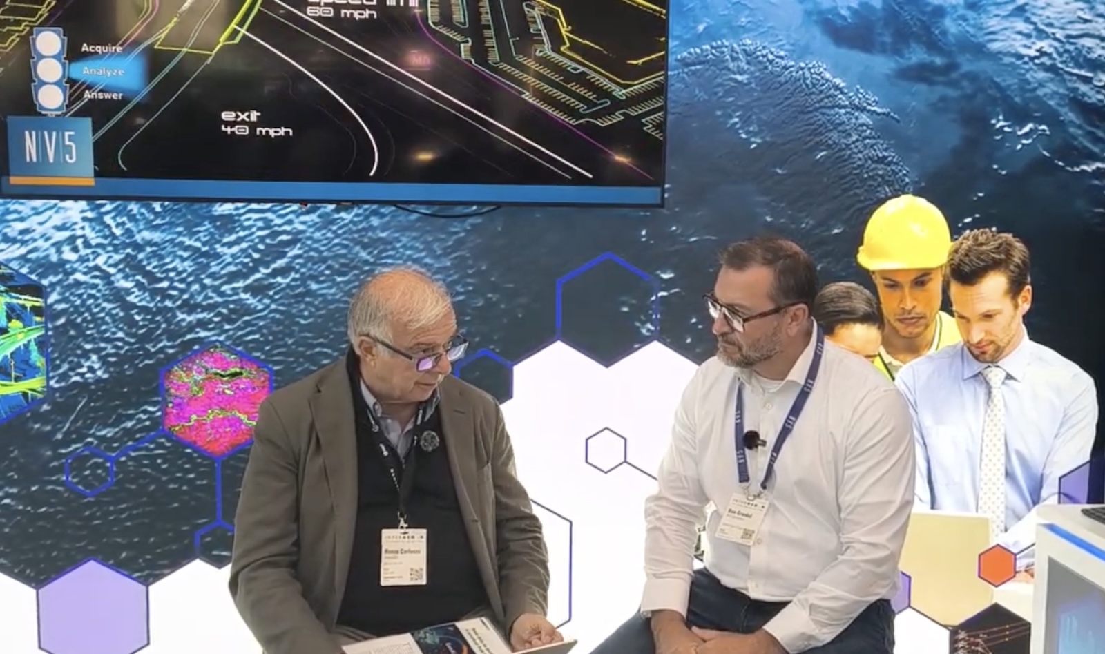
GEOmedia discussed this transition with Dan Gruidel, Vice President of Software, Strategy and Business Development at NV5 Geospatial, moving from data acquisition and fusion to GeoAI, governance and the changing role of geospatial professionals.
GEOmedia: NV5 works with huge amounts of LiDAR, imagery and other geospatial data. Is the real challenge today still collecting better data, or is it increasingly about turning that data into useful decisions?
Dan Gruidel: It's a bit of both. You always want better and more accurate data. We collect a great deal of LiDAR data as well as optical data, and within our software organization we also work extensively with satellite imagery. So data will always be important. However, I think customers and industries are increasingly expecting outcomes. They do not simply want the data; what is becoming more and more important is the ability to obtain answers from that data.
Another important aspect is how different types of data can be used together—what we call data fusion—to deliver those outcomes.
This is a transition that we are seeing across all the industries we serve, whether that is defense, scientific institutions, government, cities and municipalities, or sectors such as oil, gas and mining. They already have data, but they want better answers. That is increasingly where our focus lies.
GEOmedia: With GeoAI increasingly automating geospatial analysis, how do we make sure that the answers produced by AI remain valuable and traceable back to trusted geospatial data?
Dan Gruidel: That's an excellent question. I think anybody involved with AI is beginning to understand the importance of governance. How does an organization—or an individual— make sure that AI is being used in the correct way? One of the things we work on with our customers is making sure that the use of AI is repeatable. To achieve that, you need to understand the workflow and use AI in a way that incorporates human oversight, organizational governance and repeatability at scale. You want to make sure that something works consistently, over and over again, before you release it across an organization or into broader use. When we work with customers, it is therefore important to design the process correctly, to make sure the data is ready for AI and to understand how AI is interacting with that data. The objective is to obtain better answers consistently.
GEOmedia: As AI becomes capable of performing more geospatial analysis automatically, how does the role of the geospatial professional change?, and, particularly for young people entering this field, what would you suggest they focus on?
Dan Gruidel: I think there are two things that will happen in the GeoAI world in the future. First, I think we will see more GIS professionals becoming more strategic within their organizations. This relates to what we discussed earlier: focusing increasingly on outcomes and answers rather than simply assembling the data or assembling the workflow. A lot of that work can now be automated. AI can perform much of the heavy lifting, allowing things to be done faster. But professionals will increasingly need to think through the answers. For that reason, education in remote sensing and GIS remains extremely important. You need that foundation in order to ask the right questions of AI and obtain the right answers. I do not think we have reached a stage where AI can simply perform all of that work independently. You still need the strategic insight behind it.
The second aspect is that much of the work geospatial professionals can now perform using AI will ultimately make geospatial capabilities more accessible to people who do not have a geospatial background.
GEOmedia: Democratization?
Dan Gruidel: Yes.
GEOmedia: In the sense that everybody can benefit from geospatial capabilities?
Dan Gruidel: Yes.
GEOmedia: Thank you very much.
Dan Gruidel: Thank you.
“They already have data. They want better answers.”
From data production to trusted answers
The conversation with NV5 highlights a significant shift in the geospatial value chain. For decades, progress in geomatics has been closely associated with the ability to acquire more accurate, more detailed and more extensive data. That development continues, and high-quality LiDAR, optical imagery and satellite observations remain fundamental. But simply possessing more data is no longer enough. Organizations increasingly want to understand what the data can tell them.
This moves attention from acquisition towards outcomes and makes data fusion increasingly important. LiDAR, optical imagery, satellite data and other sources do not necessarily need to remain separate information products. Combined appropriately, they can provide a richer foundation from which useful answers can be extracted.
GeoAI accelerates this transition because it can automate substantial parts of geospatial processing and analysis. Greater automation, however, introduces another question: how do we know whether an AI-generated answer can be trusted? Grudel's response places governance at the centre of this issue.
Successful GeoAI is not simply a matter of applying an algorithm to a dataset. Organizations need to understand whether their data is suitable for AI, how the models interact with that information, whether workflows produce repeatable results and where human oversight should remain. The concept of repeatability is particularly important. An impressive result obtained once is not necessarily a reliable operational workflow. For AI to become part of professional geospatial processes, organizations need confidence that appropriate results can be reproduced consistently and at scale.
The progression can therefore be understood as:
Trusted data → Data fusion → GeoAI → Human oversight → Governance → Repeatable analysis → Better answers
The same transformation also affects the role of geospatial professionals.
If AI increasingly automates data preparation, workflow assembly and portions of analysis, the professional contribution begins to move towards another level: understanding which questions should be asked and how the resulting answers should be interpreted. This is why education in GIS and remote sensing remains essential. AI can perform much of the heavy lifting, but domain knowledge provides the foundation required to understand the problem, interrogate the data and determine whether the resulting answer makes sense.
Automation does not therefore necessarily reduce the importance of geospatial expertise. It can allow that expertise to become more strategic. At the same time, GeoAI may make spatial capabilities more accessible to people outside the traditional GIS community. Users may increasingly benefit from geospatial analysis without having to understand every technical step required to produce it.
The geospatial industry is therefore moving from a model centred mainly on producing data towards one increasingly focused on producing trusted answers.
AI can accelerate that transition, but the quality of the answers still depends on trusted data, appropriate data fusion, repeatable workflows, governance, human oversight and professionals capable of asking the right questions.
INTERGEO 2026 · GeoAI & Data Fusion
NV5 Geospatial
LiDAR · Optical Imagery · Satellite Data · Data Fusion · GeoAI · AI Governance · Human Oversight · GIS · Remote Sensing