

GGS is a German company specializing in the development and integration of advanced systems for aerial surveying, offering end‑to‑end solutions including high‑precision digital cameras, gyro stabilizers, and mission planning software.
Founded in 1988, GGS has established itself as a benchmark in aerial photogrammetry. The company designs and integrates systems for airborne data acquisition, including digital cameras, multispectral and thermal sensors, as well as full platforms for UAVs and manned aircraft. By combining sensors, stabilized mounts, and advanced control systems, GGS addresses every requirement in aerial surveying.
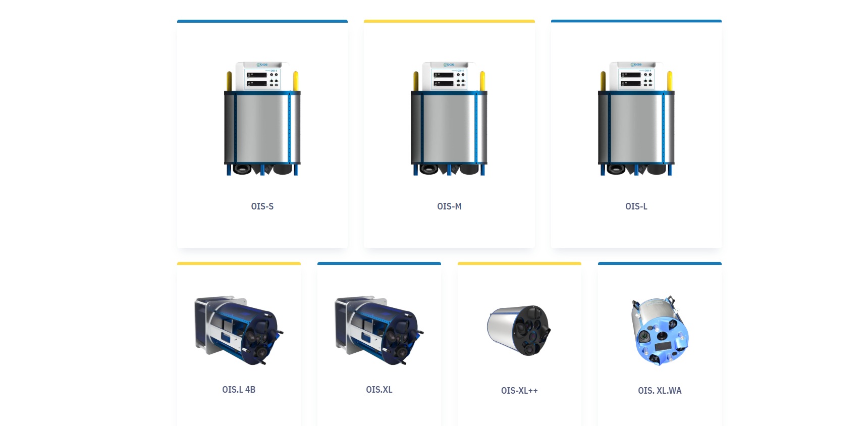
Their flagship aerial cameras (such as the Phase One iXM and iXM‑RS series) deliver extremely high‑quality imagery with resolutions from 50 to 150 megapixels. Equipped with interchangeable optics and high‑sensitivity CMOS sensors, they are ideal for applications in engineering, environmental monitoring, precision agriculture, and urban planning. Among their offerings is also the OIS‑M (Oblique Imaging System), which integrates Canon and Phase One cameras to produce oblique mappings and detailed 3D models.
But GGS goes beyond mere hardware: the company provides custom turnkey systems backed by advisory services, design, calibration, integration, training, and ongoing technical support. Each system can be tailored on demand, metrically calibrated, and maintained across the entire operational life of the project.
A concrete illustration of the effectiveness of GGS’s solutions is seen in the work of De Villiers Visser, a South African mapper. Since 2015, Visser has collaborated with GGS (as an official Phase One integrator), continuously upgrading his setup. In 2018, he adopted the Phase One iXM‑RS 150F (150 MP), allowing him to reduce flight lines and boost efficiency while retaining image quality. With this system, he mapped nearly 90 km² in the Grand Karoo at a ground resolution of 10 cm, producing digital terrain models, orthophotos and data for agricultural, water management and environmental uses.
In 2023, Visser further modernized his setup with a AeroStab‑S stabilizer, the TOPOFLIGHT flight management system, and a cutting‑edge GNSS‑INS solution provided by GGS. This allowed him to execute missions with resolutions down to 1 cm for infrastructure projects near Cape Town, flying at low altitude and low speed to minimize motion blur.
In essence, GGS delivers fully integrated solutions for aerial photogrammetry, deploying state‑of‑the‑art technologies and expert technical support to fulfill the demanding precision and reliability standards required by aerial mapping projects globally.
Source: https://ggs-solutions.eu/services/ https://www.phaseone.com
