

In an industry where precision, reliability, and adaptability are non-negotiable, Fixposition’s Vision-RTK 2 marks a significant leap forward. Building on the success of its predecessor, Vision-RTK 2 introduces deep sensor fusion technology that pushes the boundaries of what’s possible in real-time positioning—across any environment, under any conditions.
The Challenge: GNSS Alone Isn’t Enough
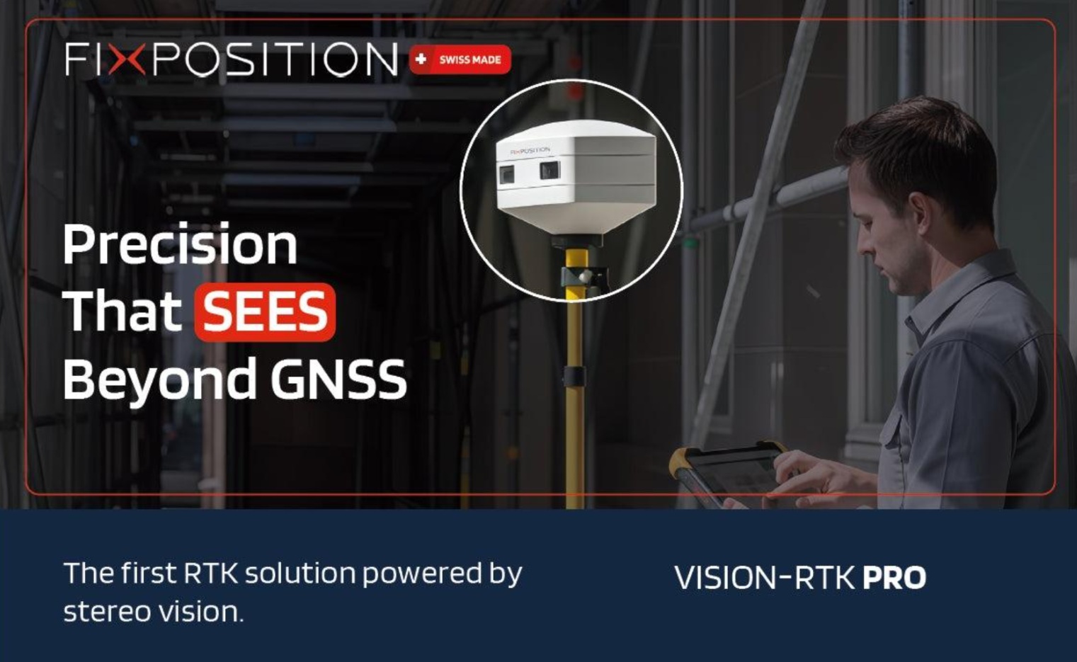
Global Navigation Satellite Systems (GNSS) have long been the cornerstone of high-precision positioning in fields like surveying, autonomous navigation, robotics, and GIS. However, GNSS accuracy depends on clear skies and consistent correction signals—conditions rarely found in modern environments. Urban canyons, tunnels, dense forests, and indoor-outdoor transitions create signal blockages, interruptions, and multipath distortions, turning once-reliable systems into liabilities.
Traditionally, professionals have addressed these issues using complex multi-instrument setups, like combining RTK receivers with total stations or LIDAR. But these workarounds introduce new layers of cost, time, and complexity.
The Solution: Deep Sensor Fusion
Vision-RTK 2 solves this problem at its core with deep sensor fusion—a next-generation approach that tightly integrates data from multiple sensing modalities:
- All-band, multi-constellation GNSS
- High-grade inertial measurement unit (IMU)
- Stereo visual odometry (VO)
- Advanced environmental perception
The heart of the system is Fixposition’s enhanced xFusion Engine, which fuses these data streams in real time to generate robust, accurate positioning—even when GNSS signals are degraded or completely unavailable.
Unlike basic sensor fusion, which uses sensors independently and switches between them, deep sensor fusion blends them simultaneously and continuously. This allows Vision-RTK 2 to maintain centimeter-level accuracy across complex and dynamic environments, avoiding the "GNSS on/off" behavior that plagues traditional systems.
Continuity Across Environments
Whether crossing a construction site, moving through forested terrain, navigating under bridges, or entering buildings, Vision-RTK 2 adapts in real time. When GNSS is strong, it anchors the solution. When it weakens, visual and inertial data take over—seamlessly.
This capability transforms workflows:
- Surveyors can map without interruption or costly total station setups.
- Autonomous vehicles and robots maintain safe, reliable navigation through mixed indoor-outdoor spaces.
- GIS professionals collect consistent data in every environment, improving project accuracy and reducing rework.
Designed for Integration and Deployment
Vision-RTK 2 isn’t just powerful—it’s practical. It features:
- Automatic sensor calibration
- Vision-based tilt compensation
- Standardized interfaces (CAN, Ethernet, UART, USB)
- Compact, ruggedized design for real-world conditions
Its plug-and-play architecture supports easy integration across platforms—rovers, UGVs, drones, and mobile mapping systems—minimizing setup time and reducing training needs.
Seamless Esri Integration
Fixposition continues its collaboration with Esri, ensuring Vision-RTK 2 works seamlessly within ArcGIS environments. Real-time positioning data flows directly into ArcGIS Field Maps, Dashboards, and other GIS tools, enabling fast, informed decisions and accurate digital twin updates without post-processing or data stitching.
Built for Today, Ready for Autonomy
Vision-RTK 2 is more than a GNSS solution—it’s a positioning platform for the future. Its deep sensor fusion core makes it ideal for enabling autonomous systems in agriculture, logistics, robotics, and smart infrastructure. By delivering precise, reliable positioning where GNSS cannot, it lays the foundation for the next wave of autonomy.
Conclusion: Positioning Without Limits
With Vision-RTK 2, Fixposition is delivering on a bold promise: precision without compromise, continuity without complexity. Whether you're mapping urban utilities, deploying autonomous fleets, or building digital infrastructure, Vision-RTK 2 ensures you never lose your position—no matter the environment.
Deep sensor fusion isn’t just an upgrade—it’s a transformation. Welcome to the future of positioning.
Here the Technical Specifications
Source: ( Fix Position )
