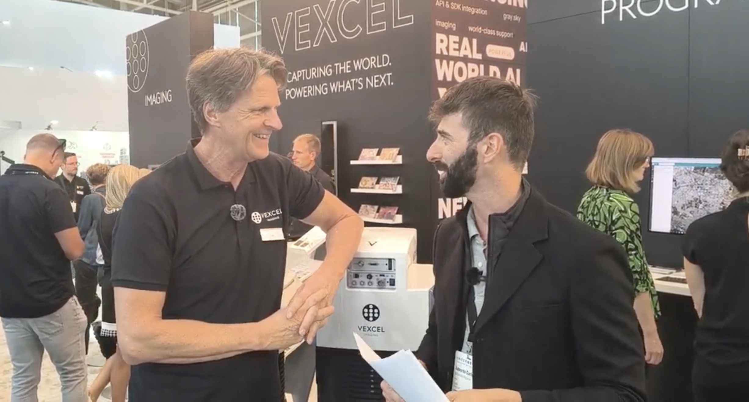
Creating an accurate and photorealistic 3D model of a city is an impressive technological achievement. But the model itself is only the beginning. At INTERGEO 2026, GEOmedia spoke with Alexander Wiechert, CEO of Vexcel Imaging, about aerial acquisition, artificial intelligence and the transition from representing the physical world to extracting information and knowledge from it.
Creating an accurate and photorealistic 3D model of a city is an impressive technological achievement. High-resolution aerial imagery, created by increasingly camera systems and automated processing workflows can reproduce the urban environment at a scale and level of detail that would have been difficult to imagine only a few years ago.
But is the 3D model itself the final objective?
The discussion between GEOmedia and Alexander Wiechert, CEO of Vexcel Imaging, suggests otherwise. A geometrically accurate and visually realistic representation is an essential foundation, but it remains only the first layer of a much broader information ecosystem. The real transformation begins when imagery and 3D data can be analysed, classified and interpreted using artificial intelligence, allowing the representation of the physical world to become information and, ultimately, knowledge. There is another challenge as well. Cities are not static. Buildings are constructed and demolished, infrastructure changes and entire neighbourhoods evolve. Consequently, even the best 3D city model begins to age from the moment it is produced. The future of urban Reality Capture therefore depends not only on creating better models, but also on extracting knowledge from them and keeping that knowledge current.
Edoardo Carlucci, GEOmedia: Big cities such as Rome are using aerial imagery, including Vexcel Osprey data, to build new 3D city representations. What role can aerial imagery play in building a city Digital Twin?
Alexander Wiechert, Vexcel Imaging: We are addressing city mapping and the creation and innovation of 3D models. A key element is the camera system. With systems such as the UltraCam Osprey, we can acquire high-resolution aerial data that provides the foundation for many different applications. The important aspect is not simply collecting the imagery, but putting all of this data into a software workflow where it can be processed efficiently. From the acquired data we can generate different information products, including surface models and terrain models, and use these as part of the process for generating 3D representations.
But I would say that this is only the starting point.
When we consider the combination of acquisition efficiency, resolution, accuracy and the ease with which 3D models can now be generated, aerial acquisition provides a very effective foundation for building large-scale 3D representations.
GEOmedia: What do you think is the best way to approach a 3D model? Is the 3D model itself the final objective, or is it only one of the layers within a broader information system?
Alexander Wiechert: It is definitely one of the layers. It is a very important layer, because this is where everything starts. A 3D mesh by itself provides a very good representation of the world. When you have high-quality imagery of building façades and roofs, for example, the result can look extremely photorealistic. You can navigate through it and observe the environment from different perspectives. But the 3D representation itself does not necessarily contain knowledge about the real-world objects it represents.
That is the next step.
When you use imagery and 3D models for classification, you can process that information using artificial intelligence algorithms and begin extracting data about the objects represented within the model. At that point, the model starts becoming much more than a visual representation. You are extracting information from the physical world and organizing it within a 3D structure. So the 3D model is a representation, but it is only the beginning.You can then use neural and AI algorithms to extract information from it, and that information can ultimately become knowledge about the real world.
GEOmedia: A Digital Twin needs to stay up to date. Does this mean cities will need to fly more often, rather than creating a 3D model only once?
Alexander Wiechert: Generating a good 3D model is already a major task. There is a substantial amount of processing involved in creating the model itself, but that remains only the first step. And then we face another problem: cities evolve. Major cities change very rapidly, but smaller cities evolve as well. Construction and demolition are continuously taking place. The data therefore needs to be observed and updated.There is a considerable amount of change taking place in the real world, and this creates the need to update and regenerate the models. This is why one of the major challenges is finding ways to make this process as efficient as possible. If you want to maintain a fresh and current model, you need updated information. With programmes such as our Vexcel Data Program, particularly for larger cities, the objective is to provide frequently updated information because urban environments can develop so quickly that data acquired previously may rapidly become more useful as a historical record than as a representation of the current city.
GEOmedia: Thank you very much. It has been a real pleasure.
“A 3D mesh by itself is a representation of the world. That's fantastic, but it has no knowledge of the real-world objects it represents. That is only the start.”
From representing the city to understanding it
The discussion with Vexcel introduces an important distinction between representing reality and understanding reality. Modern aerial acquisition systems can generate extraordinarily detailed imagery. Combined with photogrammetric processing, these datasets can produce DSMs, DTMs, textured meshes and photorealistic 3D representations of entire urban environments. That capability is fundamental. But it is not necessarily the final destination. A visually convincing 3D mesh tells us what the city looks like. It does not automatically tell us what the individual elements within that city are. This distinction becomes increasingly important as 3D city models move beyond visualization and become part of operational environments for planning, infrastructure management, simulation and Digital Twins.
The transition can be represented as:
Aerial acquisition → 3D reconstruction → AI classification → Information extraction → Knowledge
Artificial intelligence plays a key role in moving along this chain. Classification algorithms can analyse imagery and 3D representations and begin associating meaning with the objects contained within them. In this sense, the challenge is no longer simply to create the most photorealistic possible representation of a city. It is to create a representation from which useful and structured information can be extracted.
The fourth dimension: time
The Vexcel conversation also introduces another fundamental dimension: time.
A perfect 3D model of a city describes the city at a particular moment. But cities continuously change. Buildings appear and disappear. Construction sites develop. Infrastructure is modified. Vegetation changes. New urban areas emerge while others are transformed. Consequently, the value of a city model depends not only on its resolution and accuracy, but increasingly on its currency. This changes the problem substantially.
Instead of asking only:
“How can we create an accurate 3D model?”
we increasingly need to ask:
“How can we maintain an accurate 3D model of a world that is continuously changing?”
Repeated aerial acquisition and automated processing become particularly important in this context. If the acquisition-to-model pipeline can become sufficiently efficient, 3D city models can evolve from relatively static products into continuously refreshed representations of urban reality. The resulting progression becomes:
Capture → Model → Understand → Detect change → Update → Understand again
This may ultimately be one of the most important developments for 3D city models and urban Digital Twins. A model becomes operationally valuable not simply because it is detailed, but because users can understand what is represented, what has changed and how recent that information is.
A 3D model is the beginning, not the end. And even the best model loses value if it no longer represents the city as it exists today.
Explore all interviews & insights from Munich
Follow GEOmedia’s post-INTERGEO coverage across Reality Capture, GNSS & Positioning, GeoAI and Digital Twins.
EXPLORE THE COMPLETE SERIES →INTERGEO 2026 · Aerial Imaging & Digital Twins
Vexcel Imaging
Aerial Imaging · UltraCam Osprey · 3D City Models · Artificial Intelligence · Digital Twins · Change Detection · Vexcel Data Program